Chantemerle Hills hiking trail
-
Tourist office partner
-
Randonnée "Coteau de Chantemerle"
Panneau info rando
26600 CHANTEMERLE-LES-BLÉS - Contact by email
- +33 4 75 08 10 23
- https://rando-ardeche-hermitage.fr…
Itinerary
- Distance:
- 10 km
- Elevation:
- 210 m
- Daily duration:
- 3h
Description
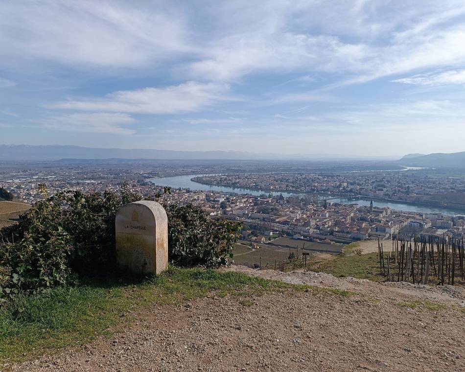
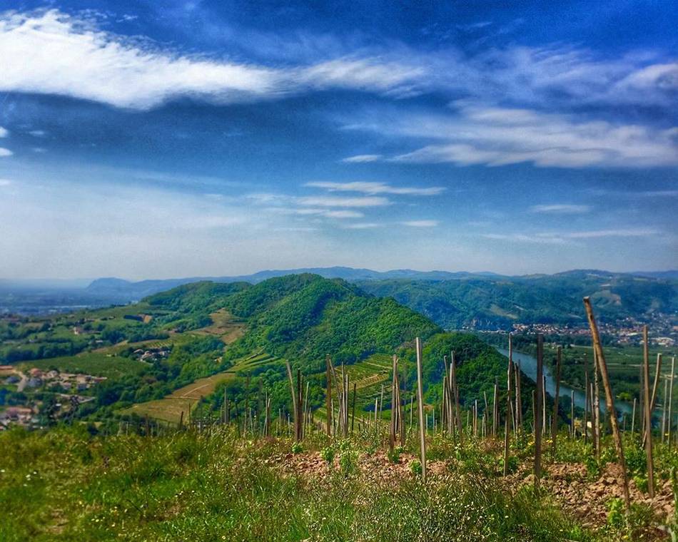
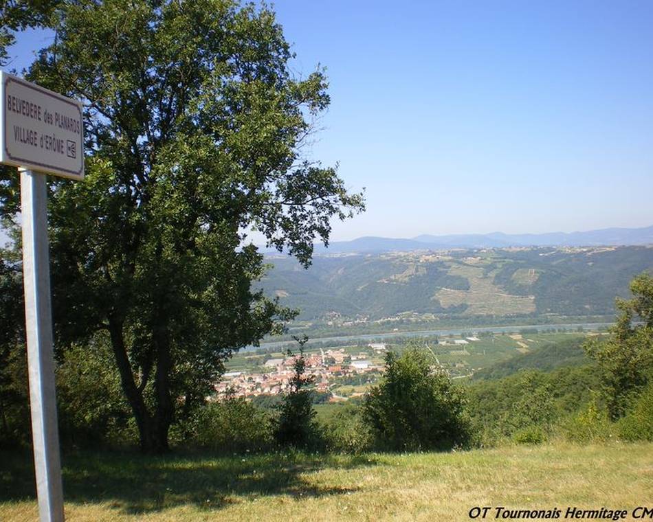
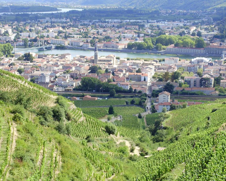
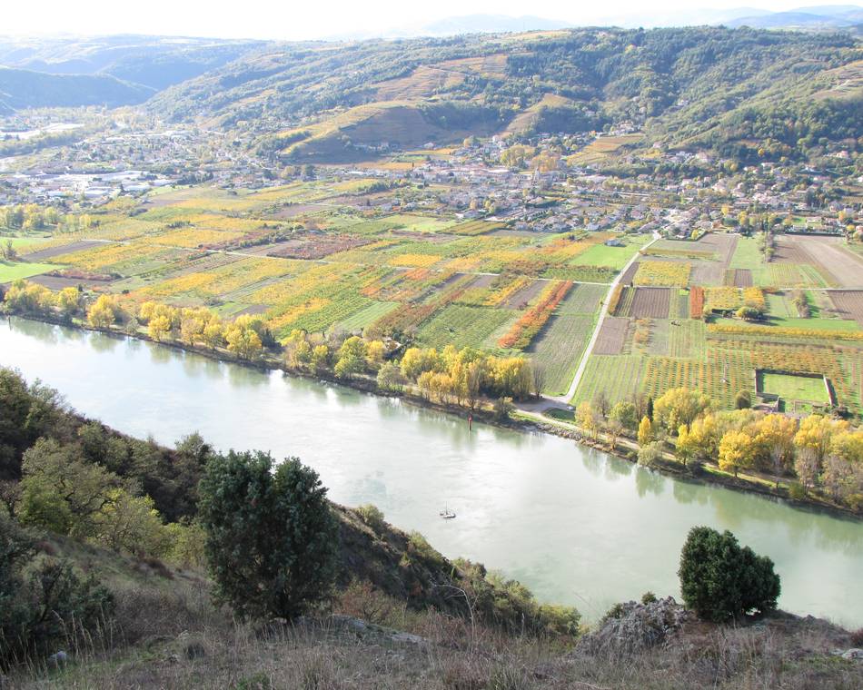
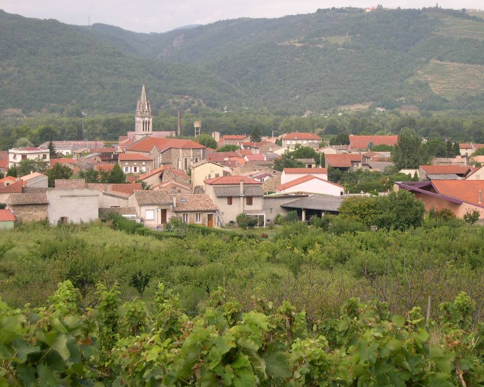
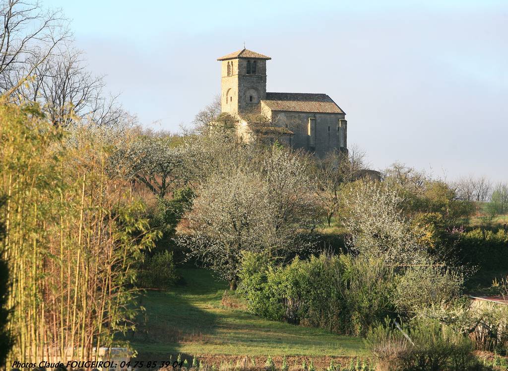
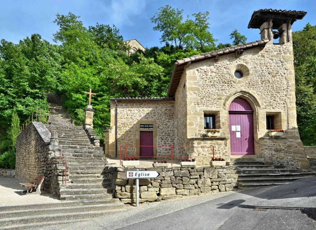
Hillside trail behind Chantemerle. Here and there, views over the surrounding countryside.
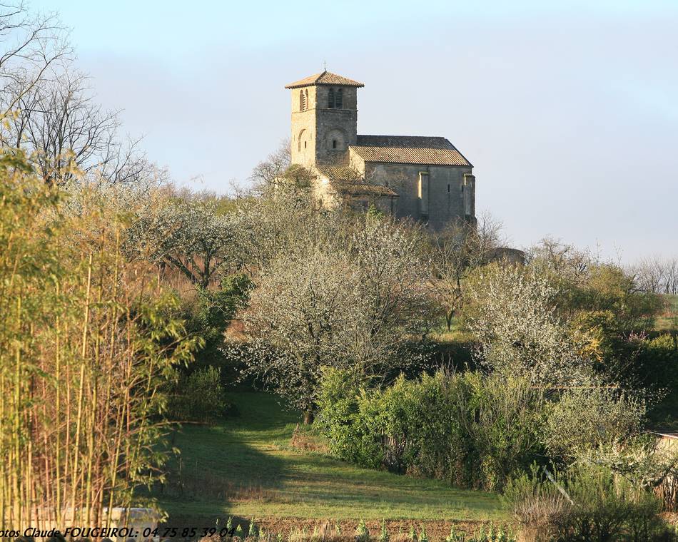
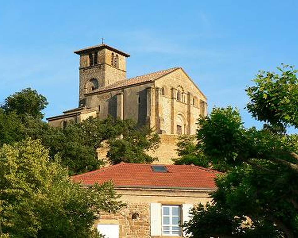
Leaving the old post office square, turn left up the old staircase that runs alongside the chapel; you'll come to the church forecourt (which can be visited), then go back down the large staircase; at the bottom, take the path on the left and join rue des Lilas, climb up to rue des Baumes, which you cross to take a path. Continue until you reach the top of the quarries, where an arrow invites you to turn right to discover the tourist board offering a view of the village, the east-facing church and the statue of Notre Dame des Blés.
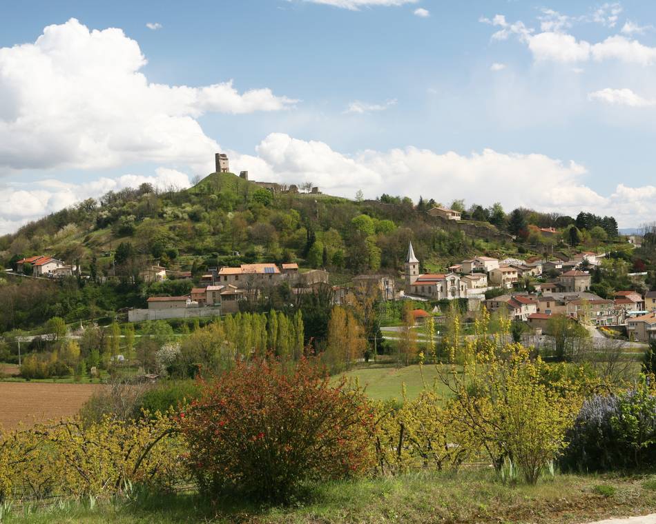
Retrace your steps and continue along the path, past a detached house and up into the woods. You reach a tarmac road; after 500m, turn left, then right 100 m further on, cross a district and turn right: a dirt track leads you uphill into the forest. After 15 minutes in the undergrowth, join a tarmac road heading north. At one point you'll see the end of Veaune's bell tower on the right; continue along the asphalt road until you come to a dirt track on the right which leads down into the woods. You are now about 2 hours 15 minutes from the start. At the end of the wood, turn right again onto the tarmac road, continue for 500 m and turn left onto the country lane, continue for 750 m: you'll come to the road leading down to the village.
Prices
Free of charge.
Opening
Tour
Individual tour average time: 180min
Characteristics
Languages spoken
- English
- French
Services
- Pets welcome
Documents to download
Seminar and reception rooms
Interactive map
See also