Mountain bike trail The heights of Hermitage
Départ : Parking du magasin Vélodis au nord de Tain l'Hermitage
26600 TAIN-L'HERMITAGE
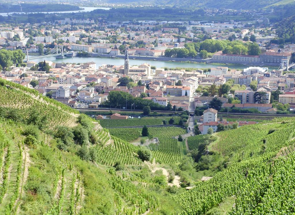
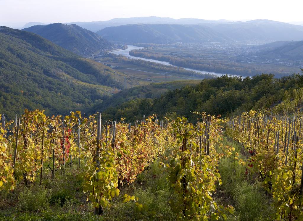
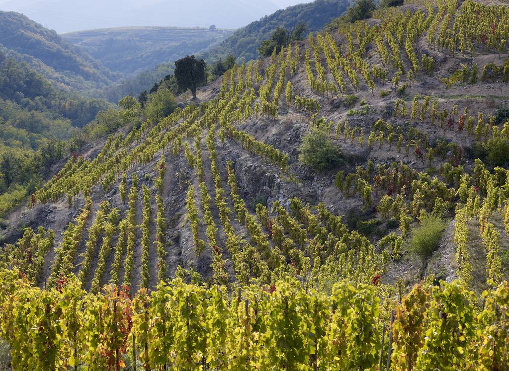
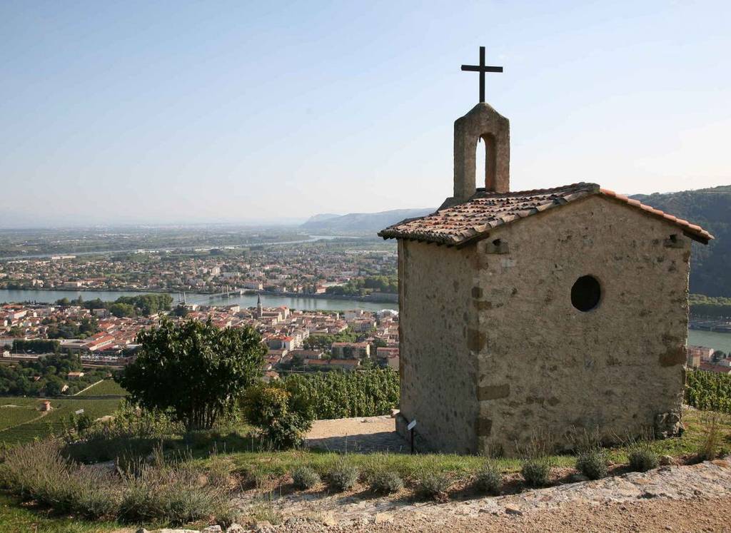
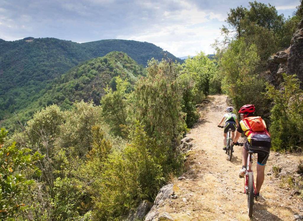
FFC route No. 14 marked with orange beacons (1 triangle and 2 circles). Route around the Hermitage hill and the villages near Tain l'Hermitage, mostly through the vineyards. Panoramic views over the Rhone Valley.
From the Vélodis store, head towards the railroad line, and pass under the bridge. Continue towards the Cave de Tain l'Hermitage. Start climbing up the road, then take the path opposite, which continues to climb. Then take the path on your right, which climbs. At the top of the road, turn right and continue up to Les Plots. Then take the path that ends on a road into Larnage.
In the village center, turn left towards Crozes Hermitage. On leaving the village, turn right up the hill, then take the 1st turning on the right. Continue along the road, which becomes a track and then a footpath, for several km. At the road, turn right towards Les Méjeans Nord, and take the path on your left. Follow the superb downhill path to Val de Gervans. Continue downhill on the path to Gervans. In the center of the village, before the bridge, take the road up the hillside. At L'Hermite, go straight ahead through the vineyards. Start the descent through the vineyards, then quickly turn right onto the narrow path that leads down to the starting point.

