N°5 : Le Banchet
-
Tourist office partner
-
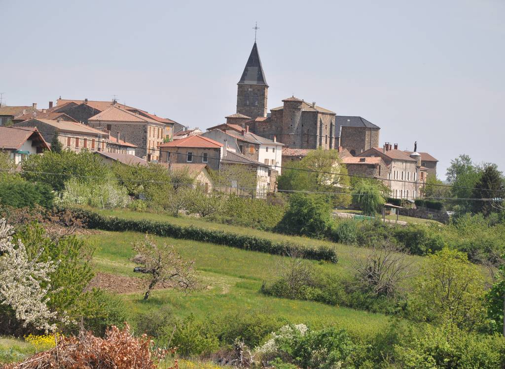
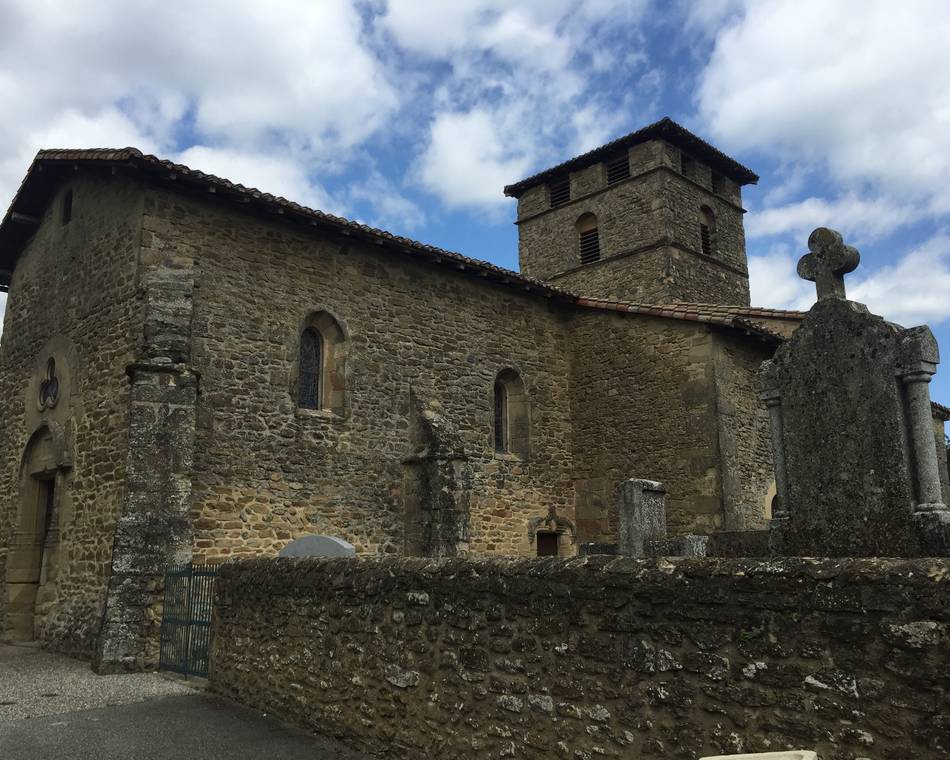
Place du marché
07410 ARLEBOSC - Contact by email
- +33 4 75 08 10 23
- +33 4 75 06 06 12
- https://www.onpiste.com/explorer/r…
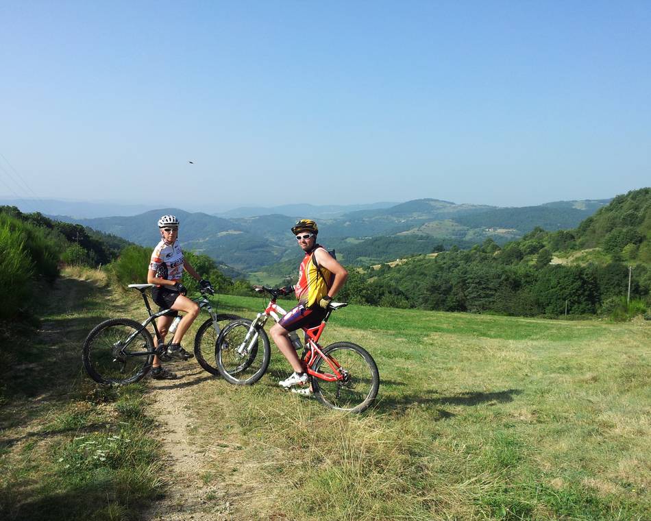
Itinerary
- Distance:
- 19 km
- Elevation:
- 700 m
Description
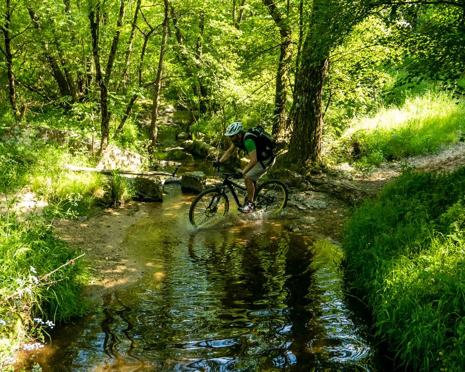
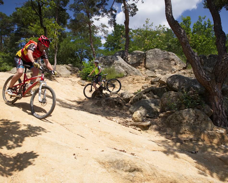
MTB trail N°5 ranked in the red category by the French Cycling Federation.
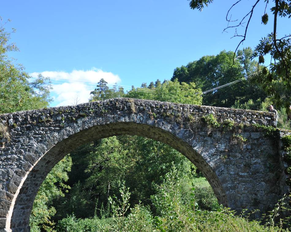
Please note: before crossing the Doux ford, ask about the water level!
The trail runs from one bank of the Doux to the other, before crossing the cool, refreshing ford.
Prices
Opening
Characteristics
Languages spoken
- French
Documents to download
Interactive map
See also
Tourist office partner
Mountain bike Journey : The sandy hills
Saint-Donat-sur-l'Herbasse
Tourist office partner
N°2 : Col du Juvenet
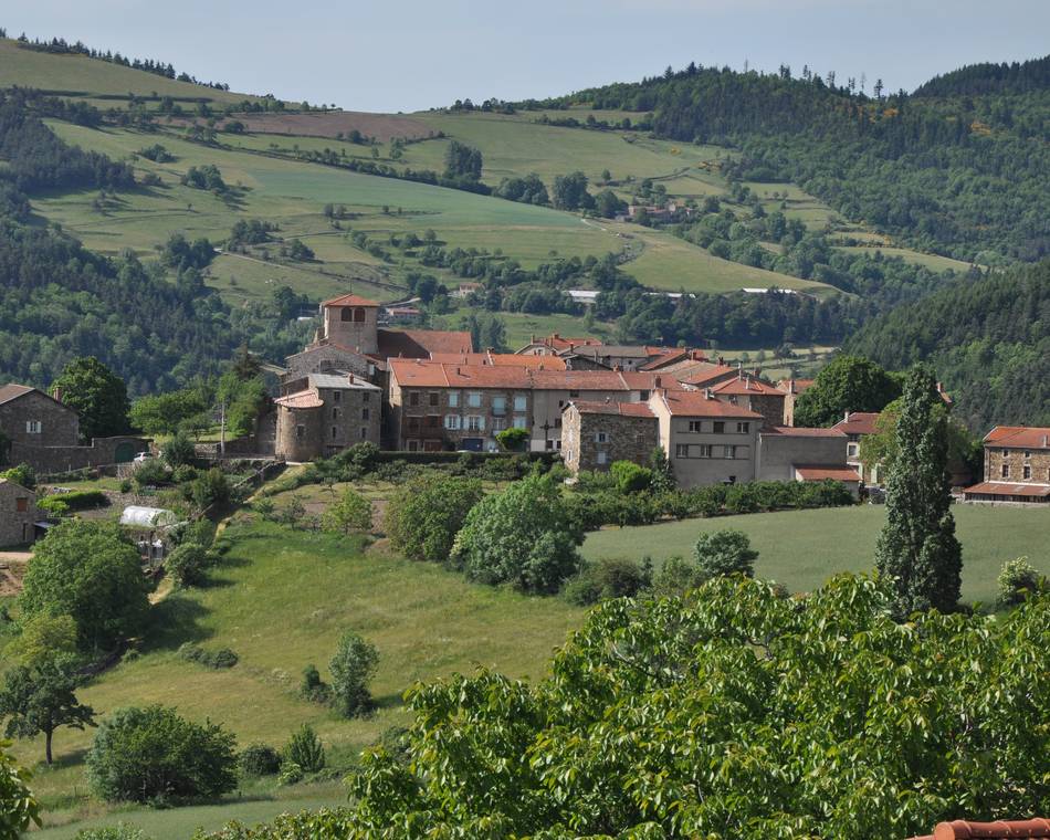
Vaudevant
Tourist office partner
Parcours VTT N°1
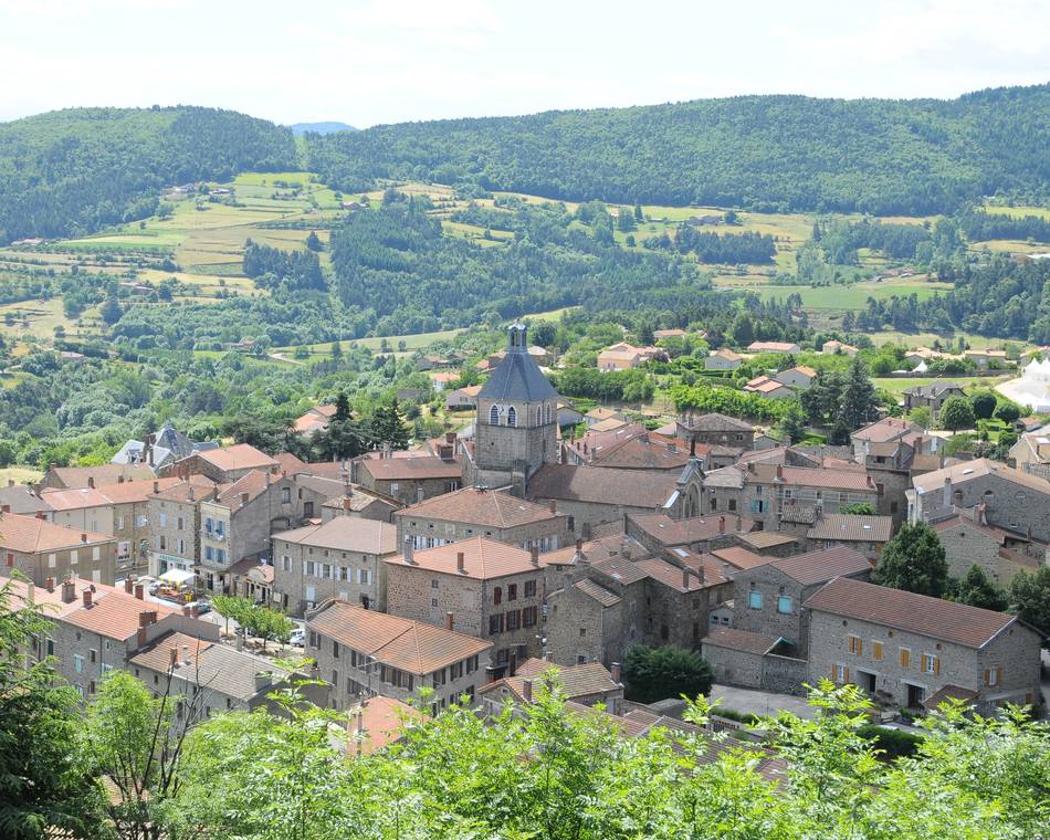
Saint-Félicien
Tourist office partner
N°3 : Col du Gibet
Saint-Félicien
Tourist office partner

N°13 : Lac de Choisine
Colombier-le-Vieux
Tourist office partner
Parcours VTT N°10
Pailharès
Tourist office partner
Moulin des Gaillards
Vaudevant
Tourist office partner
Col du Buisson
Pailharès
Site VTT FFC du Pays de Saint Félicien
Saint-Félicien

