N°2 : Col du Juvenet
Itinerary
- Distance:
- 17 km
- Elevation:
- 767 m
Description
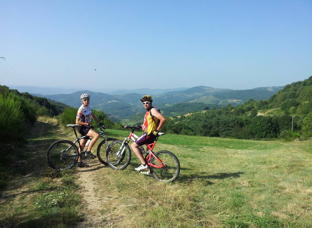
MTB trail ranked in the red category by the French Cycling Federation.The trail begins with a steady climb up to Montplot with its 360° panorama. A technical and stony descent leads to Saint-Félicien, before a fun, technical conclusion.
Prices
Opening
Characteristics
Languages spoken
- English
- French
Documents to download
Interactive map
See also
![Moulin des Gaillards](https://media.ardeche-hermitage.com/photos/structure_6172/635612.jpg.950x760_q70_crop_upscale.jpg)
![Col du Buisson](https://media.ardeche-hermitage.com/photos/structure_6173/3594481.jpg.950x760_q70_crop_upscale.jpg)
![N°4 : Bois Madame](https://media.ardeche-hermitage.com/photos/structure_6204/2299679.jpg.950x760_q70_crop_upscale.jpg)
![N°13 : Lac de Choisine](https://media.ardeche-hermitage.com/photos/structure_6192/917224.jpg.950x760_q70_crop_upscale.jpg)
![N°3 : Col du Gibet](https://media.ardeche-hermitage.com/photos/structure_6162/3575762.jpg.950x760_q70_crop_upscale.jpg)
![Parcours VTT N°1](https://media.ardeche-hermitage.com/photos/structure_6163/3575727.jpg.950x760_q70_crop_upscale.jpg)
![Parcours VTT N°10](https://media.ardeche-hermitage.com/photos/structure_6164/3575728.jpg.950x760_q70_crop_upscale.jpg)
![N°5 : Le Banchet](https://media.ardeche-hermitage.com/photos/structure_6165/3575812.jpg.950x760_q70_crop_upscale.jpg)
![Site VTT FFC du Pays de Saint Félicien](https://media.ardeche-hermitage.com/photos/structure_8243/3576196.jpg.950x760_q70_crop_upscale.jpg)
![Mountain bike Journey : The sandy hills](https://media.ardeche-hermitage.com/photos/structure_9166/6058604.jpg.950x760_q70_crop_upscale.jpg)
-
Tourist office partner
-
Centre village
07410 VAUDEVANT - Contact by email
- +33 4 75 08 10 23
- +33 4 75 06 06 12
- https://www.onpiste.com/explorer/r…