N°10 : Col du Marchand
Distance: 10 km
Elevation: 554 m
Duration: 1h 30min
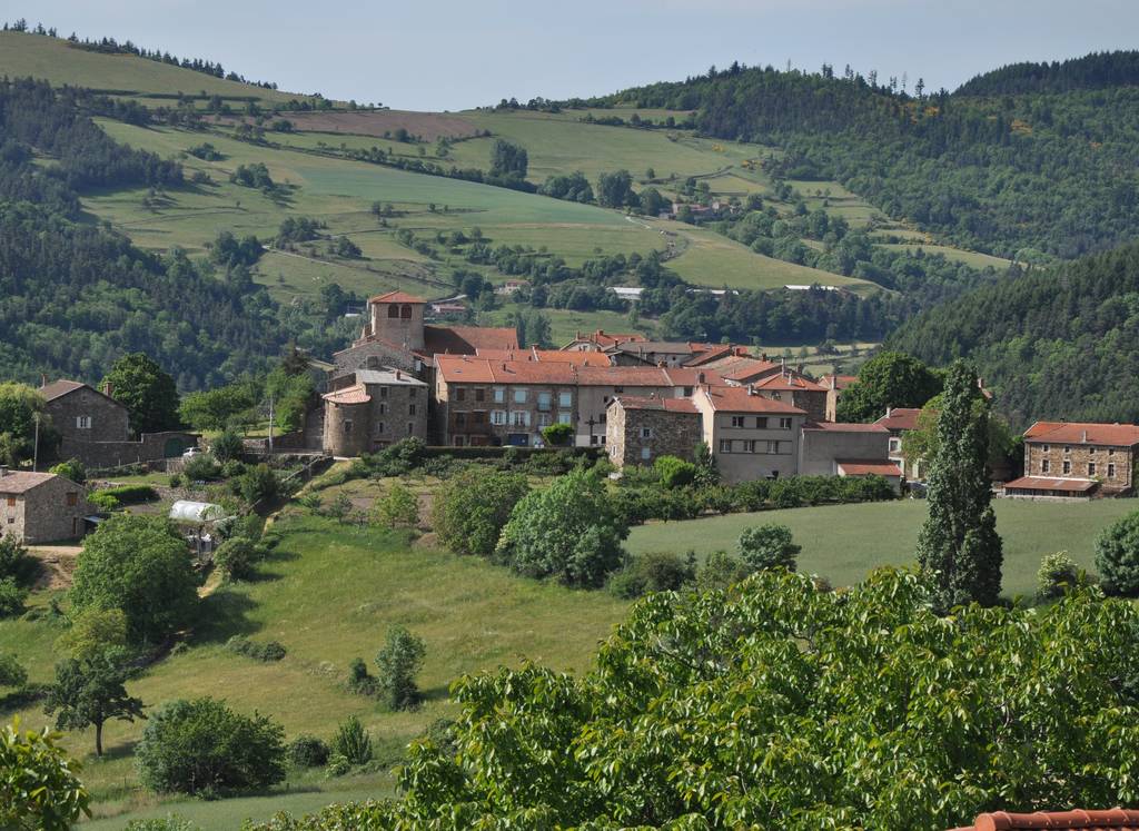
Centre village
07410 PAILHARÈS
07410 PAILHARÈS
MTB route N°10 red according to the French Cycling Federation rating.
The circuit begins with a fairly steady climb to the Serre de Verne and its superb panorama. The descent via the Col du Marchand is both technical and fun.
Documents to download
Elevation Profile
Distance:
10 km
Elevation:
554 m
Duration:
1h 30min

