Raillon
Distance: 6 km
Elevation: 210 m
Duration: 2h

Place de l'hôtel de ville
07410 SAINT-FÉLICIEN
07410 SAINT-FÉLICIEN
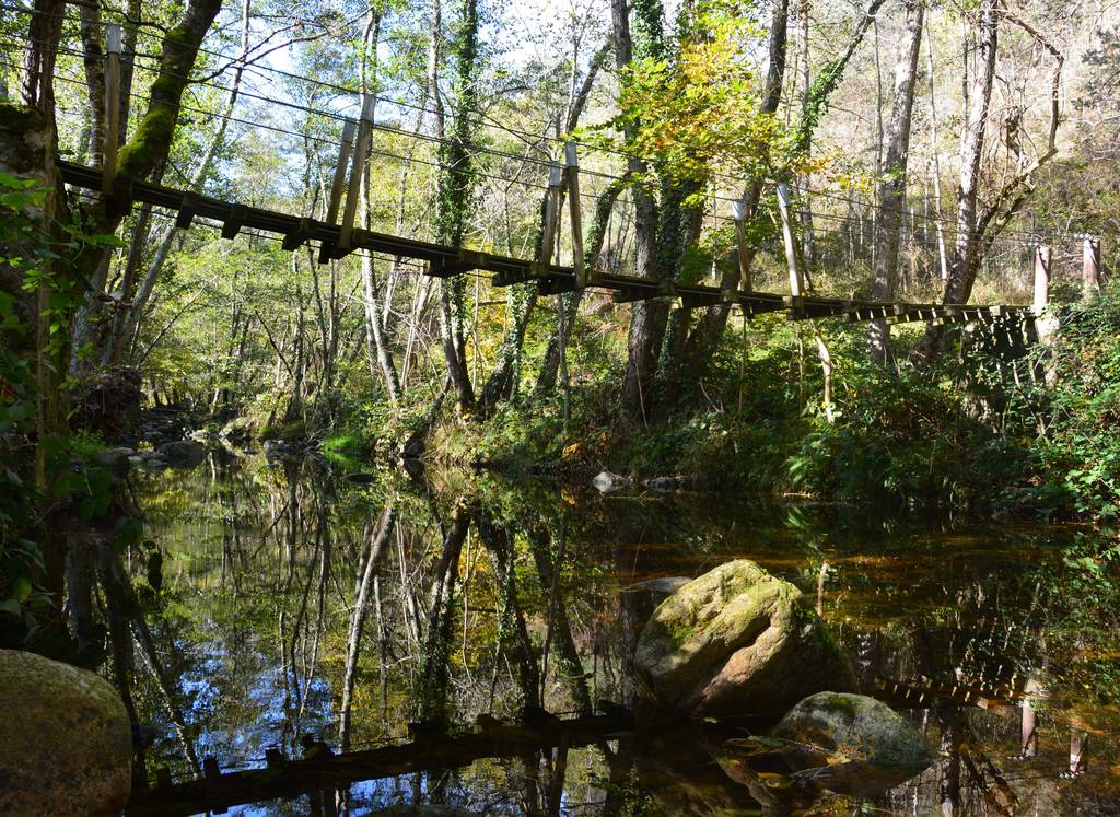
A short walk taking you to the Daronne valley with its hanging footbridge. You will then go through the arboretum alongside the campsite before heading up to Saint Félicien.
Documents to download
 Show the technical sheet
Elevation Profile
Distance:
6 km
Elevation:
210 m
Duration:
2h

