Büroeröffnung am 8. April 2026
Dienstag bis Samstagvormittag: 09:30-12:00 / 14:00-18:00 Uhr
Büro ausnahmsweise geschlossen am 1. Mai, 8. Mai, 14. Mai und 25. Mai.
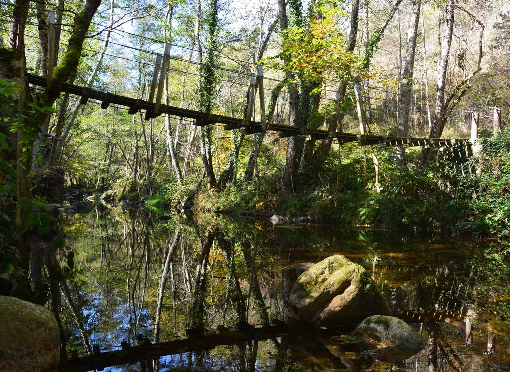

Kurze Wanderung, die Sie durch das Tal der Daronne mit seiner Hängebrücke führt. Anschließend passieren Sie das Arboretum entlang des Campingplatzes, bevor Sie wieder nach Saint Félicien aufsteigen.
 Das technische Datenblatt anzeigen
Place du 8 mai 45 - BP70019
26601 Tain l'Hermitage CEDEX
Place du 8 mai 45 - BP70019
26601 Tain l'Hermitage CEDEX
Dienstag bis Samstagvormittag – 09:30-12:00 / 14:00-18:00 Uhr
Büro ausnahmsweise geschlossen am 6. April, 1. Mai, 8. Mai, 14. Mai und 25. Mai.
Hôtel de la Tourette - 2 Place St-Julien
07300 Tournon sur Rhône
Montag bis Samstag – 09:30-12:00 / 14:00-18:00 Uhr Feiertage: 09:00-13:00 Uhr
Büro ausnahmsweise geschlossen am 6. April, 1. Mai und 8. Mai.
32, avanue Georges Bert
26260 Saint-Donat-sur-l'Herbasse
Dienstag bis Samstagvormittag – 09:30-12:00 / 14:00-18:00 Uhr
Büro ausnahmsweise geschlossen am 6. April, 1. Mai, 8. Mai, 14. Mai und 25. Mai.
Place de l’hôtel de ville
07410 Saint-Félicien
+33(0)4 75 06 06 12
Büroeröffnung am 8. April 2026
Dienstag bis Samstagvormittag: 09:30-12:00 / 14:00-18:00 Uhr
Büro ausnahmsweise geschlossen am 1. Mai, 8. Mai, 14. Mai und 25. Mai.

