Hiking Trail: "The Mercurol Heights"
Distance: 8 km
Elevation: 232 m
Duration: 2h 45min

Randonnée "Les Hauts de Mercurol"
Panneau info rando. Parking sous l'église, au bord de la D 115
26600 MERCUROL-VEAUNES
Panneau info rando. Parking sous l'église, au bord de la D 115
26600 MERCUROL-VEAUNES
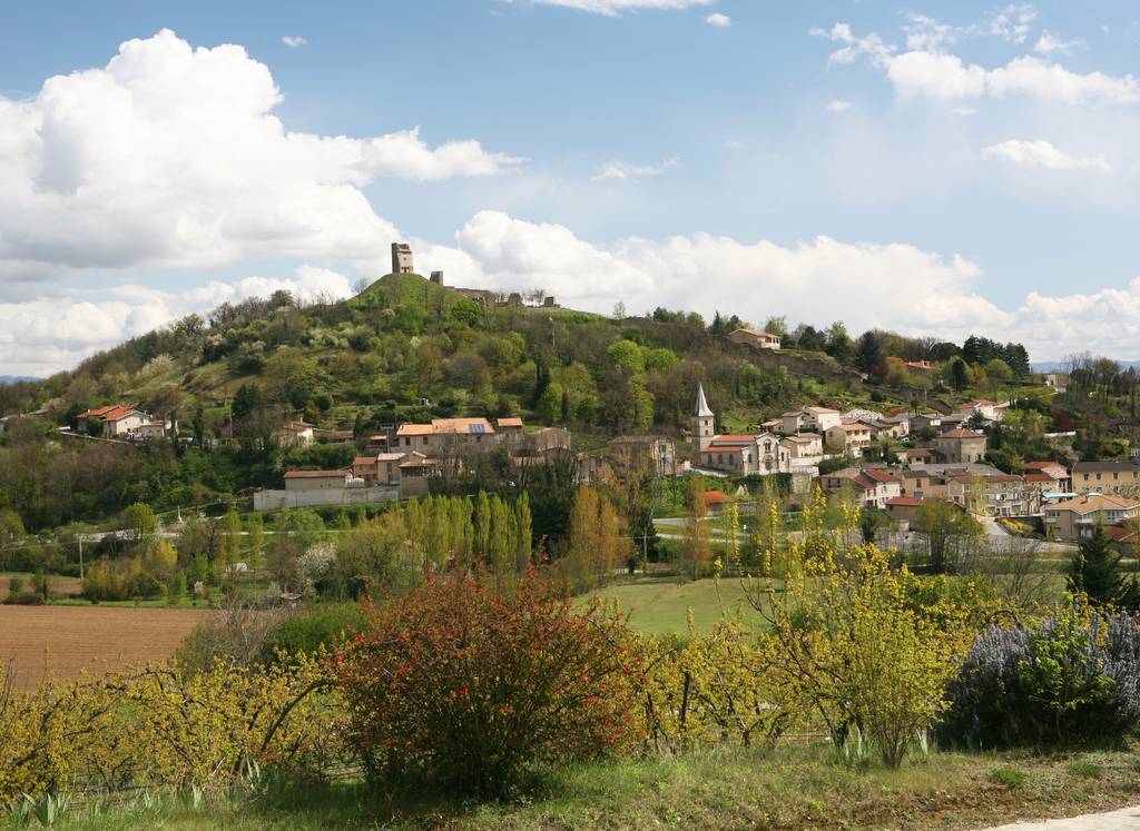
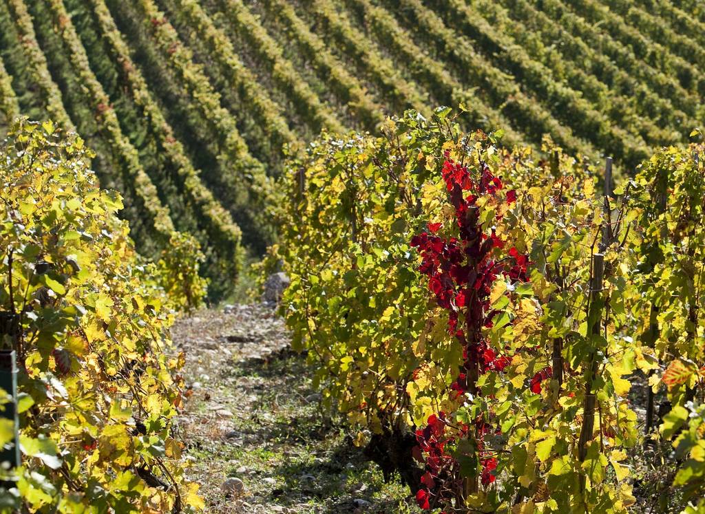
A gentle walk in the Mercurol hillside.
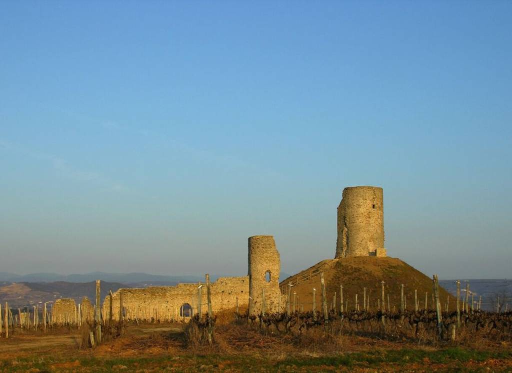
View over the Tain l'Hermitage/Chanos-Curson valley, the Mercurol tower and Conflans Castle.
Available on the trAHce app
Documents to download
 Show the technical sheet
Elevation Profile
Distance:
8 km
Elevation:
232 m
Duration:
2h 45min

