The Ardéchoise: Les Boutières
07410 SAINT-FÉLICIEN
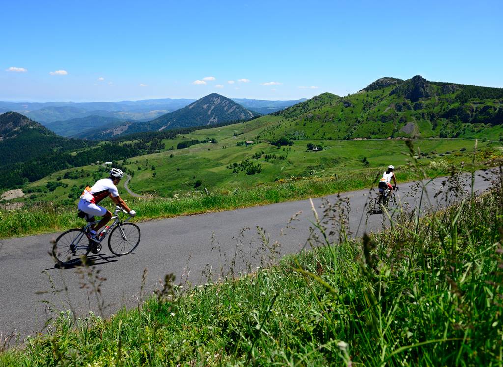
The upper Eyrieux valley calls for effort with uphill sections and even mountainous landscapes, and villages with a rich industrial past. From St-Félicien and Col des Nonières, the trail arrives in St-Agrève, high in the Cévennes, at an altitude of 1088 m. The upper Eyrieux valley is full of rising, almost mountainous, landscapes and villages that pay tribute to a rich industrial past. From Saint-Félicien and the Nonières pass, the circuit joins Saint-Agrève, overlooking Cévennes at 1088m altitude. It provides a snapshot of Ardèche with its landscape full of farmed terraces, mills, and granite hillsides, and becomes even more typical of the region once the pine trees give way to chestnut trees and the ubiquitous sweet fragrance from the surrounding broom.

