L'Ardéchoise : les Boutières
Distance : 125 km
Dénivelé : 2400 m
Place des myrtilles
07410 SAINT-FÉLICIEN
07410 SAINT-FÉLICIEN
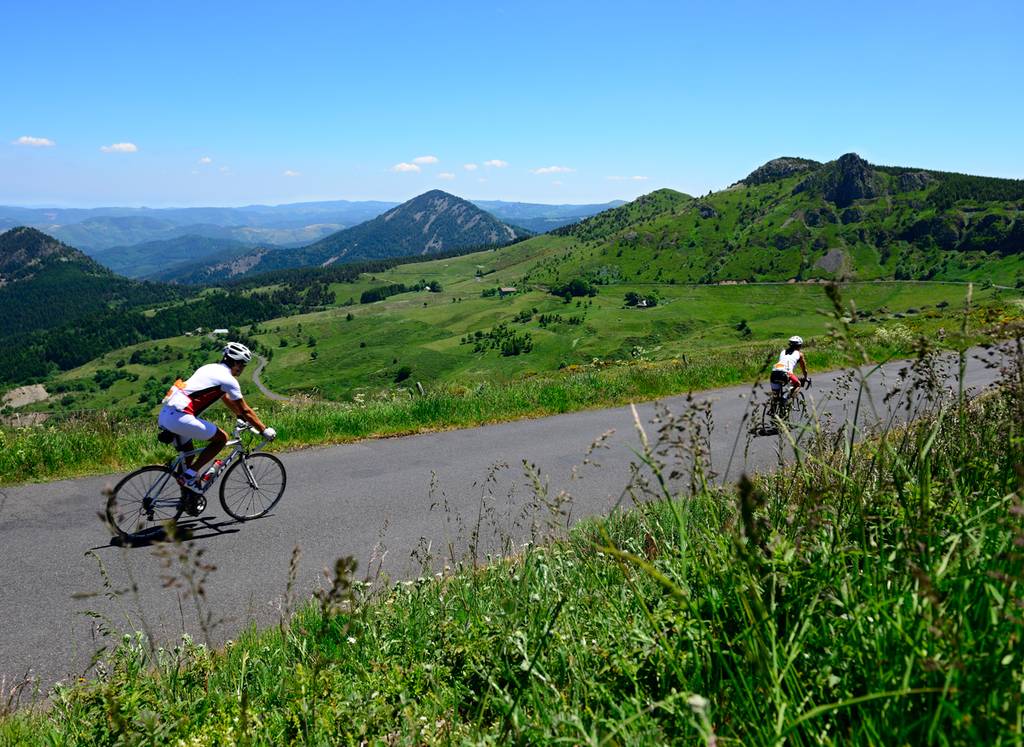
De hoge vallei van de Eyrieux is zeker een bezoek waard, met landschappen die klimmen tot ze bergachtig worden en dorpen met een rijk industrieel verleden. Vanaf St-Félicien en de Col des Nonières leidt deze route naar St-Agrève, een balkon in de Cevennen op 1088 m hoogte. Dit is een verkorte versie van de Ardèche, met terrasvormige landbouwgronden, windmolens en granieten plateaus, die ruiger worden naarmate de spar de plaats van de kastanje inneemt, maar altijd verzacht worden door de zoete geur van de omringende brem.
Documents à télécharger
Profil altimétrique
Distance :
125 km
Dénivelé :
2400 m

