GRP de la Drôme des Collines


26600 TAIN-L'HERMITAGE
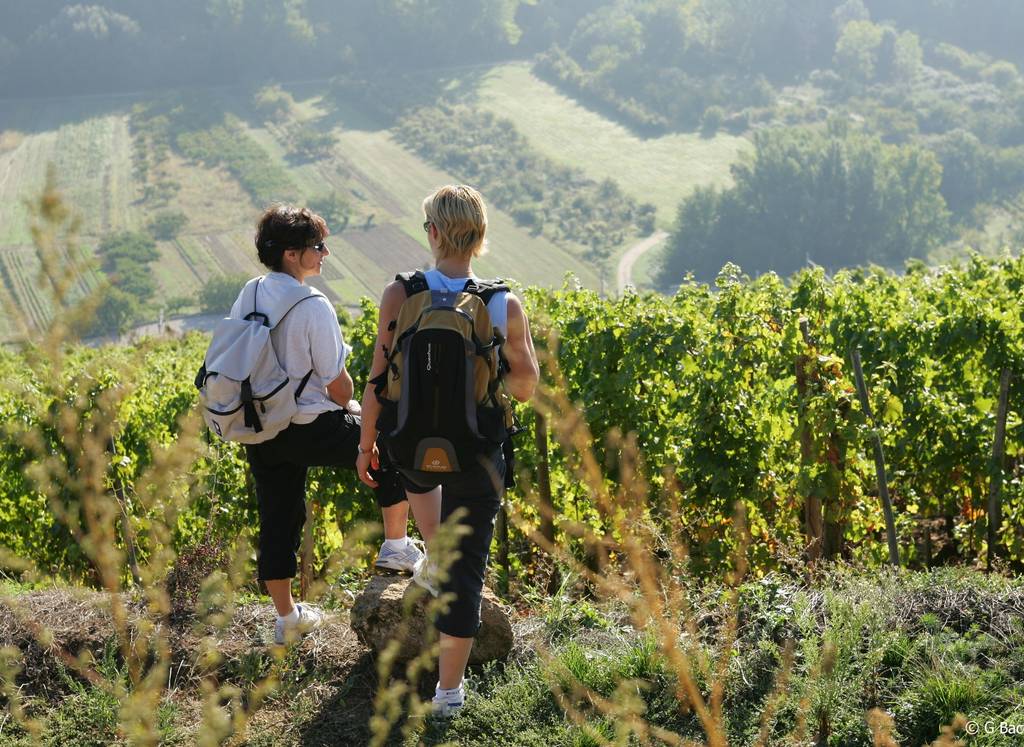
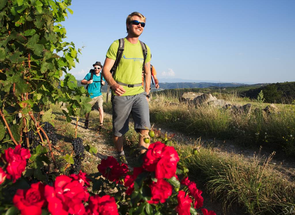
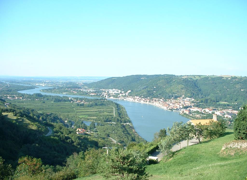
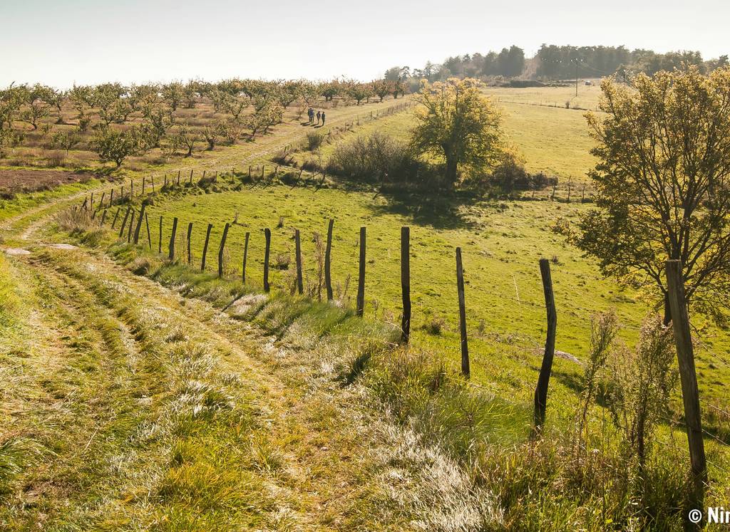
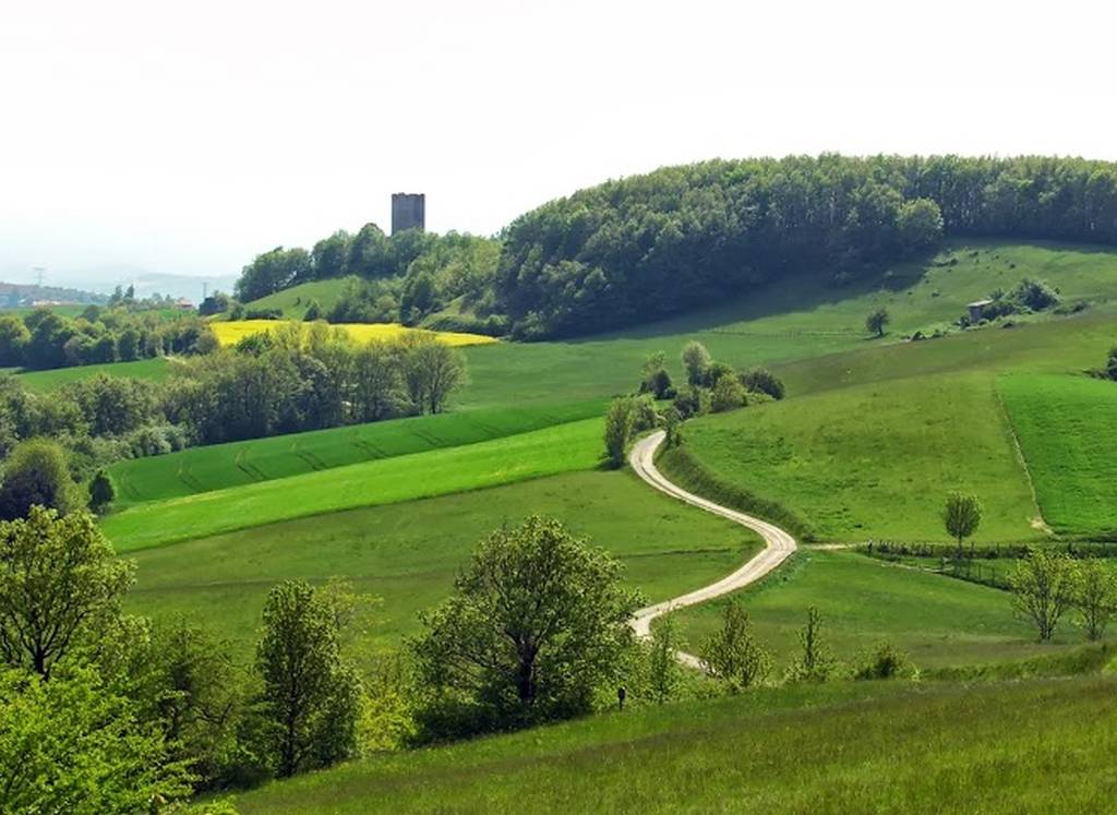
The Drôme des Collines is a hilly region, stretching from the Rhône to the foothills of the Vercors and from the Valloire to the Valence plain. The gentle terrain is ideal for families.
It can be done in its entirety, as an itinerary, in stages, or on a specific part of the route: 10 stages are suggested for the pedestrian route. Stages are proposed from village to village (please note that some accommodations require an additional distance to be added to the distance indicated on the promotional document).
The GR® Charles IX crosses it from north to south from Hauterives (from Lyon) to Peyrins (towards Romans and Valence); a west-east variant signposted as a PR® crosses it from St Barthélémy de Vals to Montrigaud; it joins the GR® Charles IX at Ratières.
To the north-west, the theme is "Of stone and water";
To the northeast, the theme is "On the wood trail";
To the southeast, you'll encounter a "Land of sand and history";
To the south-west, the loop takes you "Between vineyards and belvederes".
Other local loops signposted as PR® (yellow markings) are available from most of the villages you pass through, to focus on a particular point of interest. Refer to the FFRandonnée TopoGuide n° P261 "la Drôme des Collines à pied", on sale at tourist offices or at www.ffrandonnee.fr
Ascent +/-: 4450 m
Length of itinerary: 10 for the complete tour. Variations allow itinerant stays of 2 to 4 days.

