Montag bis Samstag: 09:30–12:30 Uhr / 13:30–18:00 Uhr
Sonn- und Feiertage: 09:30–12:30 Uhr
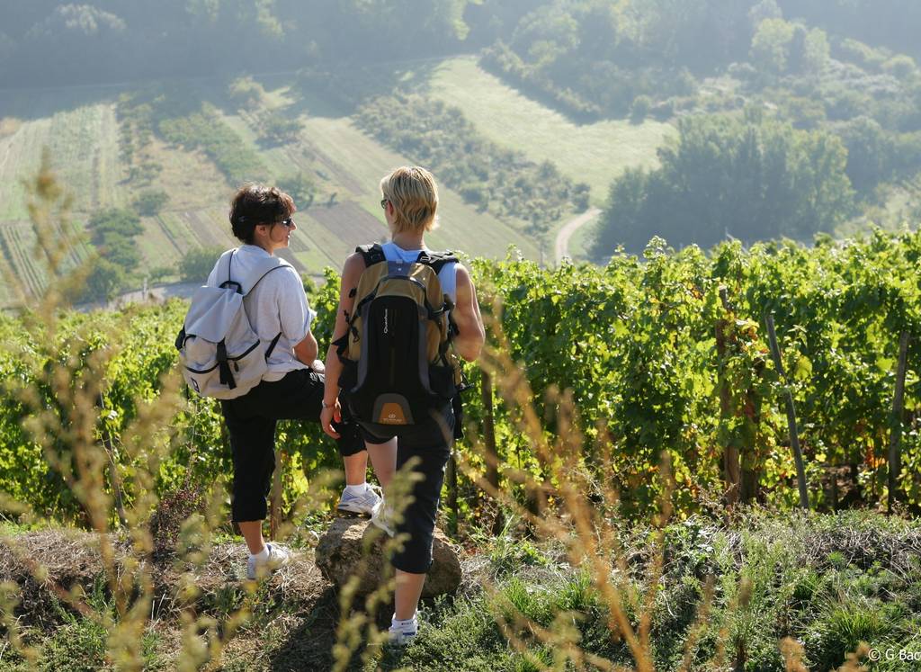

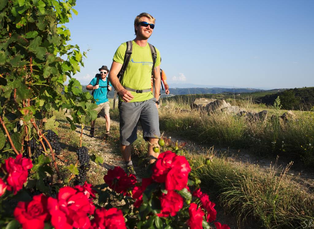
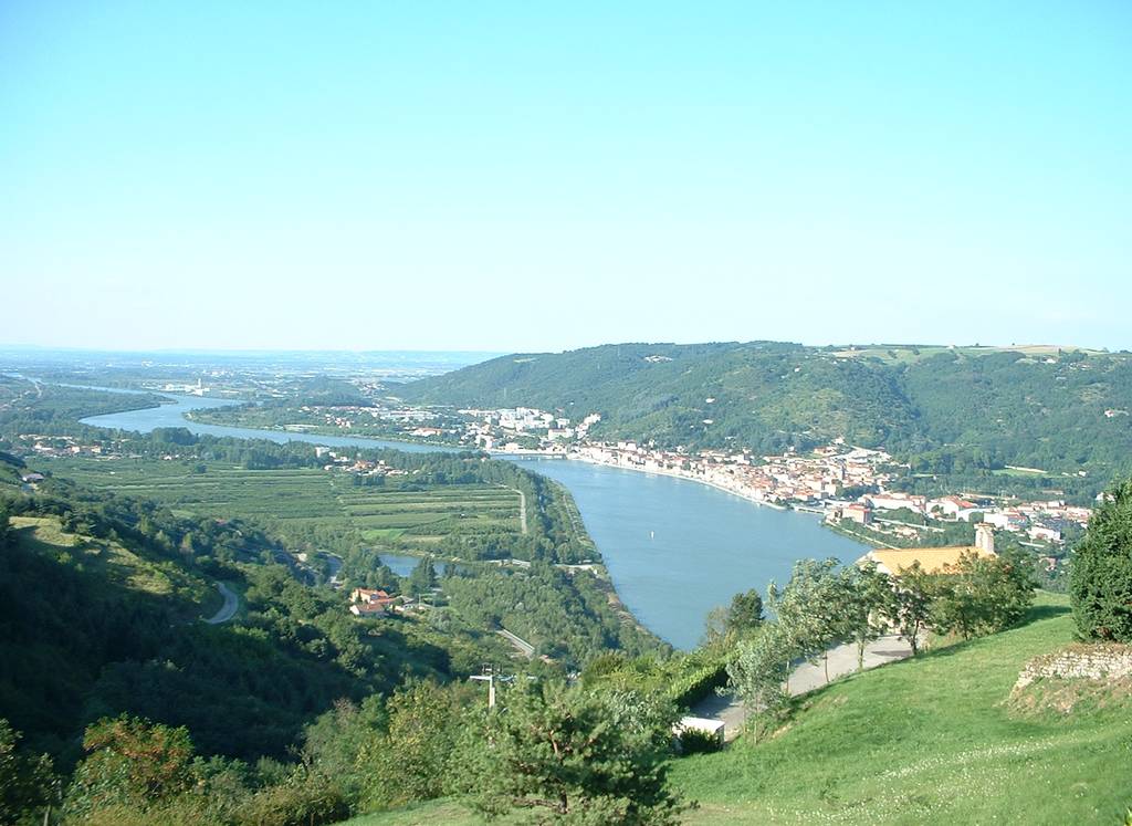


Die Drôme des Collines ist ein buckliges Land, das sich von der Rhône bis zu den Ausläufern des Vercors und vom Valloire bis zur Ebene von Valence erstreckt. Das sanfte Relief lässt sich am besten mit der ganzen Familie erkunden.
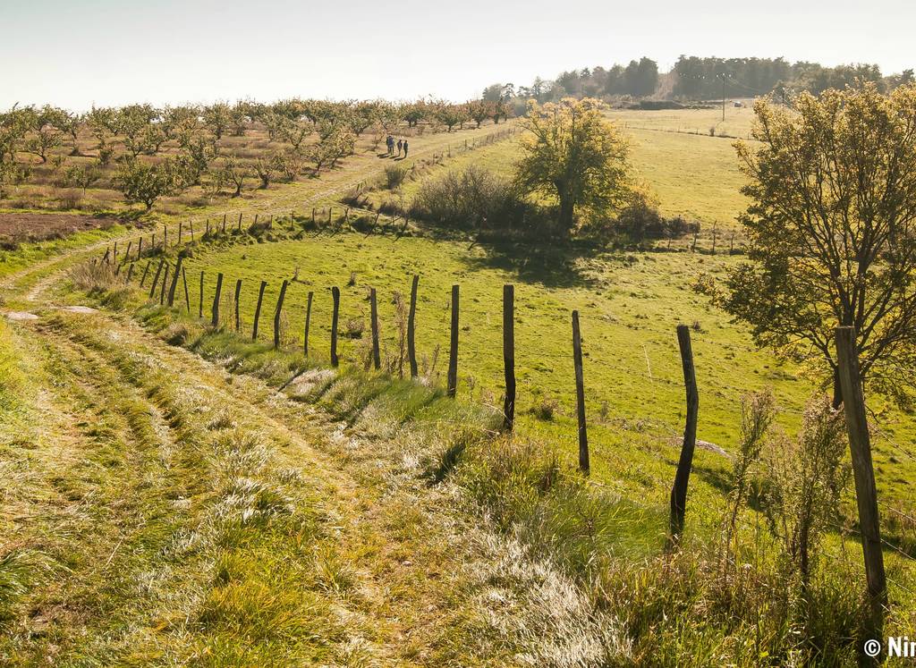
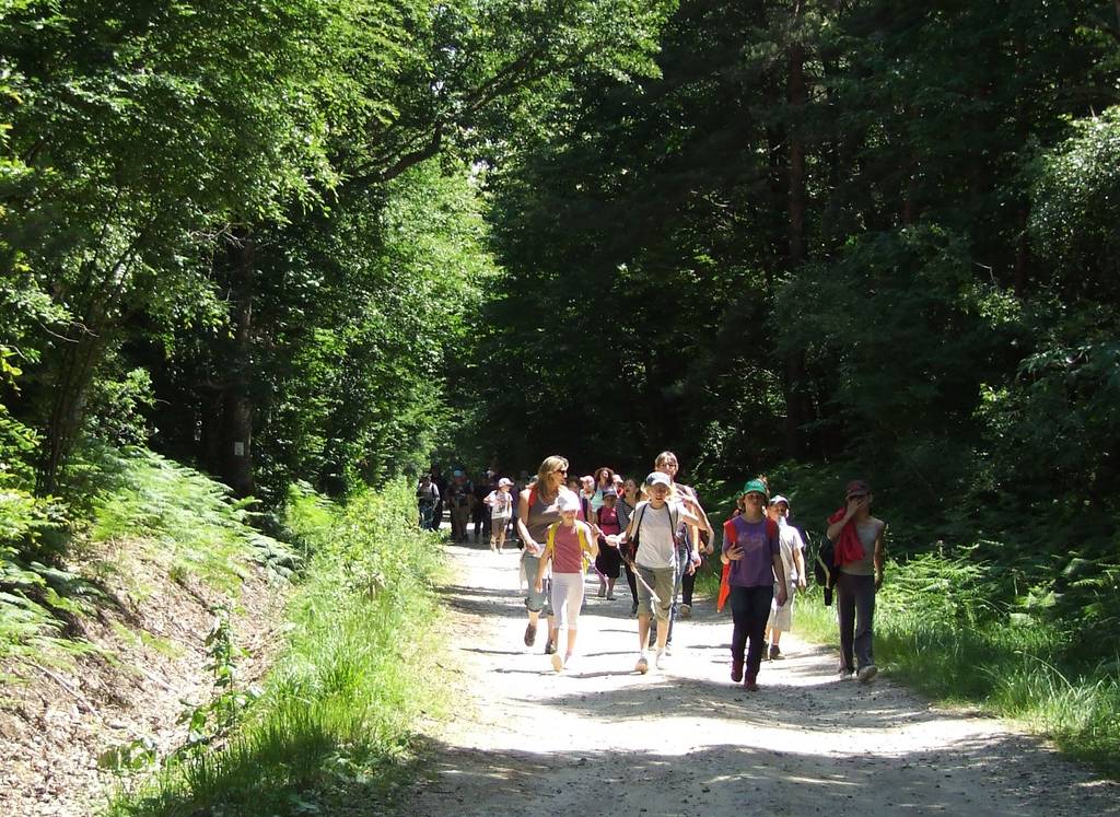
Sie kann in ihrer Gesamtheit, als Wanderweg, in Etappen oder punktuell auf einem Teil der Strecke durchgeführt werden: Für den Wanderweg werden 10 Etappen vorgeschlagen. Die Etappen werden von Dorf zu Dorf vorgeschlagen (Achtung: Bei einigen Unterkünften muss eine zusätzliche Distanz zu der auf dem Werbedokument angegebenen Distanz hinzugefügt werden).
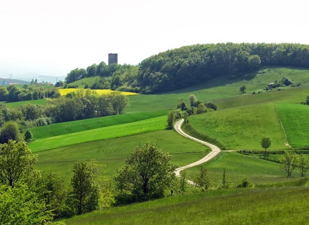
Der GR® Charles IX verläuft von Norden nach Süden von Hauterives (von Lyon aus) bis Peyrins (in Richtung Romans und Valence). Eine West-Ost-Variante, die mit PR® markiert ist, führt von St Barthélémy de Vals nach Montrigaud und trifft in Ratières auf den GR® Charles IX.
Im Nordwesten ist das Thema "De pierre et d'eau" (Von Stein und Wasser);
Im Nordosten befinden Sie sich "Auf den Spuren des Holzes" ;
Im Südosten begegnen Sie dem "Land aus Sand und Geschichte";
Im Südwesten führt Sie der Rundweg "Zwischen Weinbergen und Aussichtspunkten".
Weitere lokale Rundwege, die mit dem PR® (gelbe Markierung) gekennzeichnet sind, können von den meisten der durchquerten Dörfer aus unternommen werden, um sich auf einen bestimmten Punkt von Interesse zu fokussieren. Siehe den TopoGuide der FFRandonnée Nr. P261 "la Drôme des Collines à pied", erhältlich bei den Fremdenverkehrsämtern oder unter www.ffrandonnee.fr.
Höhenunterschied +/-: 4450 m
Dauer der Route: 10 für die gesamte Tour. Die Varianten ermöglichen Wanderaufenthalte von 2 bis 4 Tagen.
Place du 8 mai 45 - BP70019
26601 Tain l'Hermitage CEDEX
Place du 8 mai 45 - BP70019
26601 Tain l'Hermitage CEDEX
Montag bis Samstag: 09:30–12:30 Uhr / 13:30–18:00 Uhr
Sonn- und Feiertage: 09:30–12:30 Uhr
Ausnahmsweise Schließung am Samstag, den 11. Juli, nur vormittags.
Hôtel de la Tourette - 2 Place St-Julien
07300 Tournon sur Rhône
Montag bis Samstag – 09:30-12:30 / 13:30-18:00
Sonn- und Feiertage : 09:00-13:00 Uhr
Außergewöhnliche Schließung am Samstag, den 29. August.
32, avanue Georges Bert
26260 Saint-Donat-sur-l'Herbasse
Montag bis Samstag: 09:30–12:30 Uhr / 13:30–18:00 Uhr
Sonn- und Feiertage: 09:30–12:30 Uhr
Place de l’hôtel de ville
07410 Saint-Félicien
+33(0)4 75 06 06 12
Montag bis Samstag: 09:30–12:30 Uhr / 13:30–18:00 Uhr
Sonn- und Feiertage: 09:30–12:30 Uhr

