To guide you through all your outdoor adventures in the Ardèche Hermitage region, several free mobile applications help you make the most of the marked trails, diverse landscapes, and outdoor activities accessible to everyone.
Whether you're a hiking enthusiast, mountain biking lover, or trail running fan, these digital tools offer geolocated routes, practical information, and useful features to ensure a safe and enjoyable experience tailored to your level and interests.
Discover below the main applications compatible with our destination.
TRAhCE
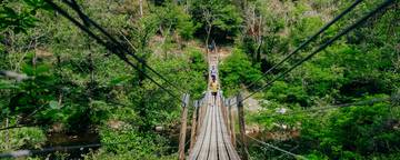
Explore the most beautiful hiking, mountain biking, trail running, or long-distance trekking routes through the diverse landscapes of the Ardèche Hermitage region!
The app follows you everywhere, helping you fully enjoy your outdoor adventures with maps, GPS tracks, practical information, and suggestions tailored to your level.


Activities Coverer
- Hiking
- Trail running
- Mountain biking & Enduro MTB
- Cyclotouring
- Electric-assisted biking (E-bike)
- Nordic walking
- Multi-day hiking or cycling
Benefits / Features
- User-friendly interface with filters by activity, difficulty, duration, etc.
- Geolocated routes with offline GPS tracking
- Detailed route sheets with points of interest (wildlife, plants, heritage, viewpoints)
- Highlighting of must-do routes (Ardéchoise, ViaRhôna, Gorges de la Daronne…)
- Multi-day itineraries available
- Food & wine tourism recommendations near the routes
- Suitable for all levels (families, athletes, explorers)
- Free to download
Download links
On Piste
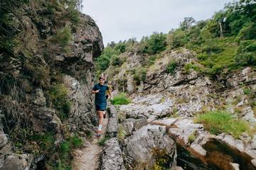
On Piste is a mobile app dedicated to outdoor activities (hiking, trail running, mountain biking, etc.), offering routes for all levels across more than 160 destinations. Unlike community-sourced platforms, the itineraries are scouted, verified, and approved by the On Piste team in collaboration with local stakeholders, federations (FFVélo, FFC), and our organization, which helped select the routes featured in the region.
The app offers full GPS guidance (audio and visual), real-time geolocation, altitude profile tracking, alerts when off-route, and the option to quickly share your GPS coordinates if needed. You can also download GPX files for free to import them into your smartwatch.
More than 80% of the routes are physically signposted on-site, offering an even more stress-free experience.
Activities available in Ardèche Hermitage:
-
Hiking
-
Trail running
-
Mountain biking
-
Nordic walking
-
Gravel biking
Benefits / Features:
-
Geolocated routes with interactive maps
-
Accurate GPS guidance, even offline
-
Performance tracking (speed, distance, elevation gain…)
-
Real-time voice alerts
-
Access to outdoor events and challenges
-
Route sharing and user communit
-
Integration of nearby services (accommodation, points of interest, rentals)
Download links:

Outdooractive
Outdooractive is the leading outdoor activity app in Europe, guiding you through thousands of hiking, cycling, trail running routes, and much more, all around the world.
The app features both official content—created and approved by local partners (tourism offices, institutions, professionals)—and community-sourced routes shared by users. With its detailed topographic maps, GPS features, and collaborative approach, Outdooractive turns every outing into a true connected adventure.


Activities available in Ardèche Hermitage:
- Hiking
- Trail running
- Mountain biking & Enduro MTB
- Cyclotouring
- Gravel biking
- Electric-assisted biking (E-bike)
- Bike touring
Benefits / Features:
- Accurate topographic maps (IGN, OpenStreetMap, etc.)
- Interactive GPS tracks, real-time tracking, and offline mode
- Ability to create and save your own routes
- Community sharing with reviews, photos, and points of interest
- Detailed information: weather, access, transport, accommodations
Download links:
Uttagawa VTT
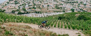
Uttagawa VTT is an app dedicated to mountain biking enthusiasts and outdoor activities. Developed in partnership with committed local areas, it offers a selection of certified, tested, and maintained MTB routes.
Perfect for riding safely on marked trails suited for all levels, with reliable GPS guidance and an interface designed specifically for mountain bikers.
Discipline(s) Covered
- Enduro MTB
- All-mountain MTB
- Electric-assisted mountain biking (E-MTB)
- Multi-day MTB touring
Benefits / Features
- 100% MTB-focused app
- Selected, secure, and regularly maintained routes
- Accurate GPS guidance, including offline mode
- Technical info: distance, elevation gain, signage, difficulty level
- Routes categorized by level and type of riding
- Collaboration with local territories and professionals
- Regular updates on routes and trail conditions
- Clear, intuitive interface tailored for outdoor use
- Free to download
Download links: