Espace pro
Press area
Espace groupe
Ticketing
en
Français
Deutsch
Nederlands
Discovering
Where to sleep
WHERE TO EAT
Agenda
USEFUL INFORMATION
Discovering
Where to sleep
WHERE TO EAT
Agenda
USEFUL INFORMATION
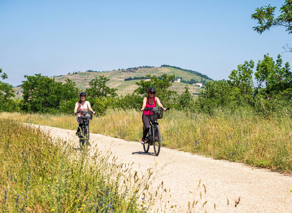
Via Rhôna : de Sarras à Pont de l'Isère
Distance:31 km
Elevation:147 m
Show map
Previous
Next
26600 PONT-DE-L'ISÈRE
Contact by email
+33 4 75 08 10 23
https://rando-ardeche-hermitage.fr…
Documents to download
Download plan (GPX 199.1 KB)
Show the technical sheet
Elevation Profile
(Demo)
Min elevation:
280m
Max elevation:
473m
Elevation gain:
+442m
Elevation loss:
-441m
Close map