Go with the flow of the Rhône
Distance: 22 km
Elevation: 90 m
Quai Farconnet
07300 TOURNON-SUR-RHÔNE
07300 TOURNON-SUR-RHÔNE
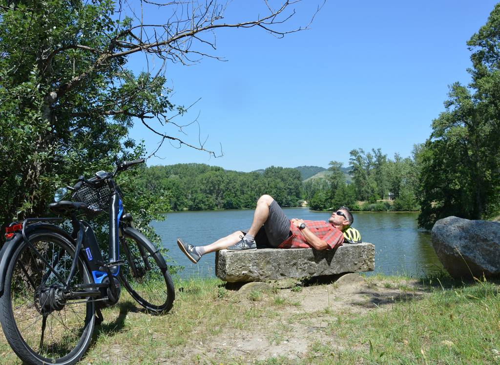
Loop along the river, almost entirely on greenways. Ideal for a family outing with a picnic.
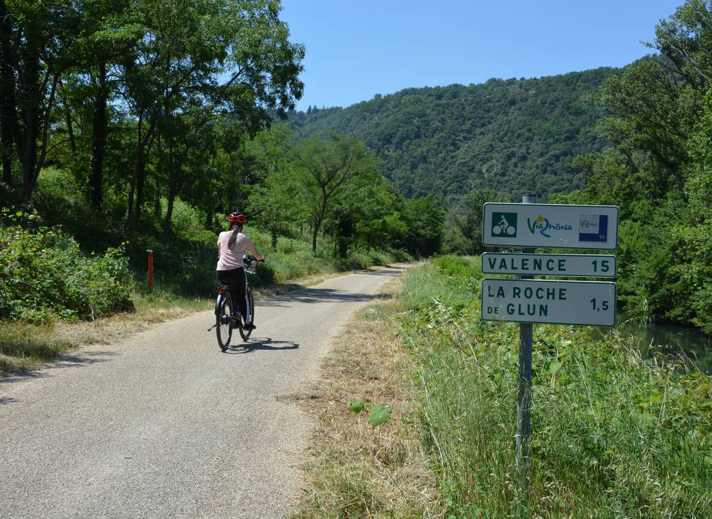
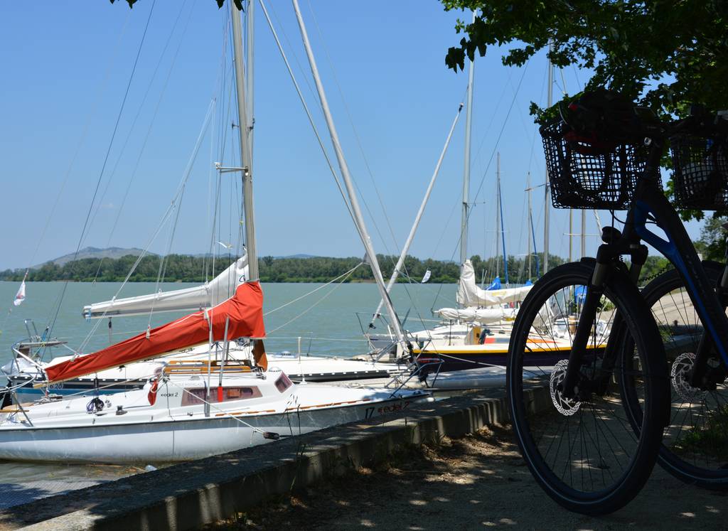
ViaRhôna, stopping off at the fishing villages and ponds along the way. The outward journey is less shaded, while the return journey benefits from a cooler, more wooded environment. As the Rhône valley is often windy, keep in mind that pedaling into the wind can quickly heat up your calves!
At the start of your ride, you'll cross the Marc Seguin footbridge, linking Tournon-sur-Rhône to Tain l'Hermitage: this pedestrian and cyclist bridge is crossed by getting off your bike.
Documents to download
Elevation Profile
Distance:
22 m
Elevation:
90 m

