Tour de Pays VTT de la Drôme des Collines


26600 TAIN-L'HERMITAGE
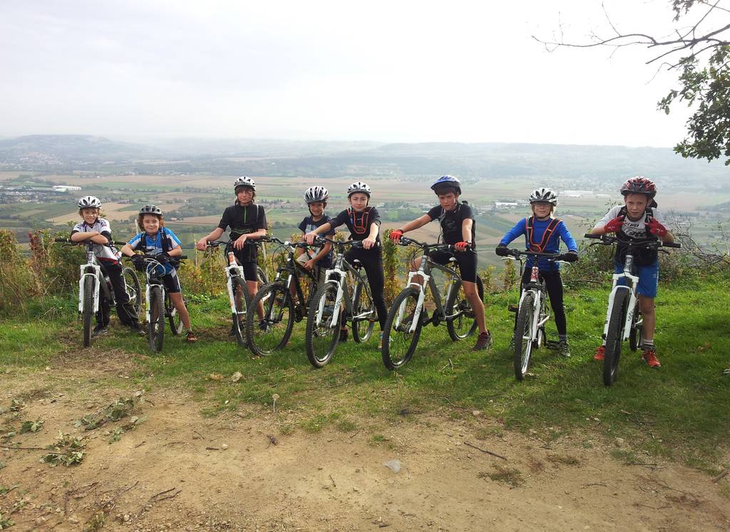
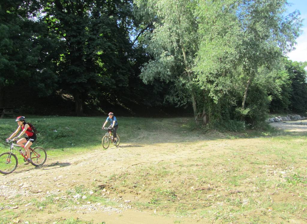
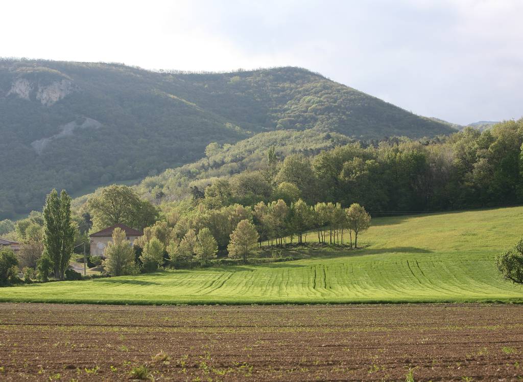
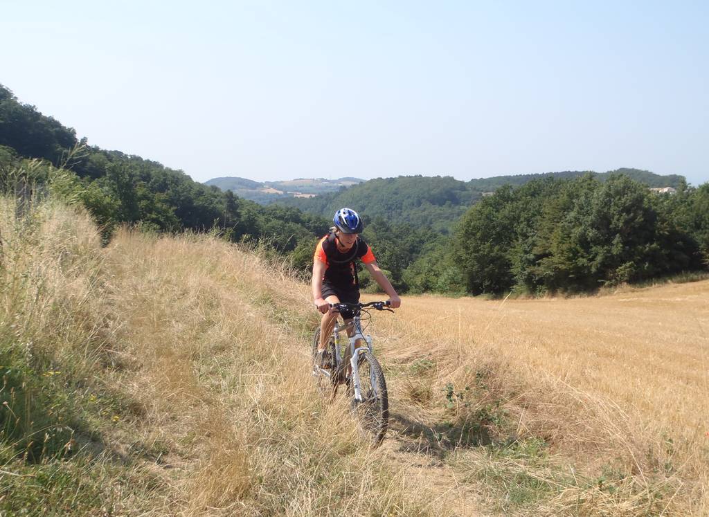
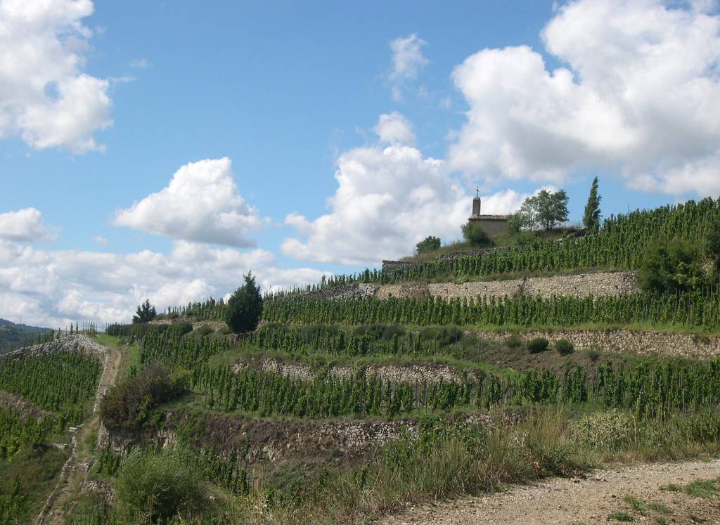
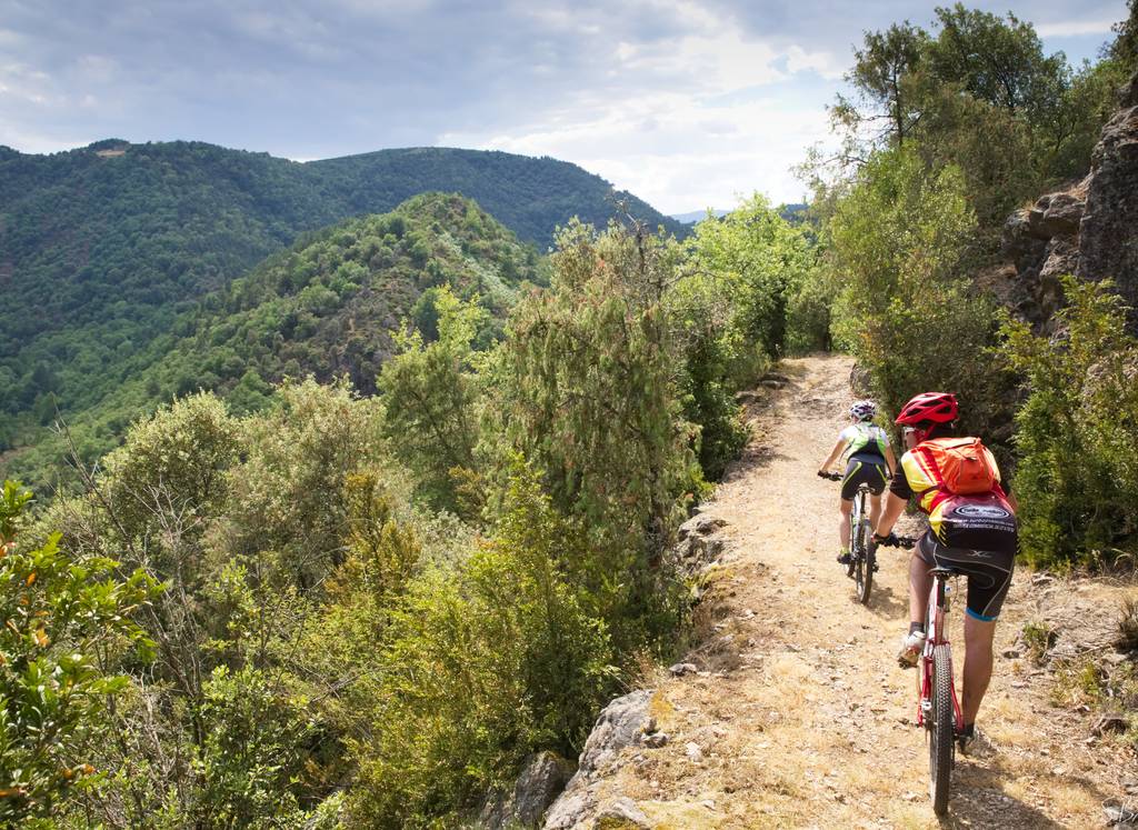
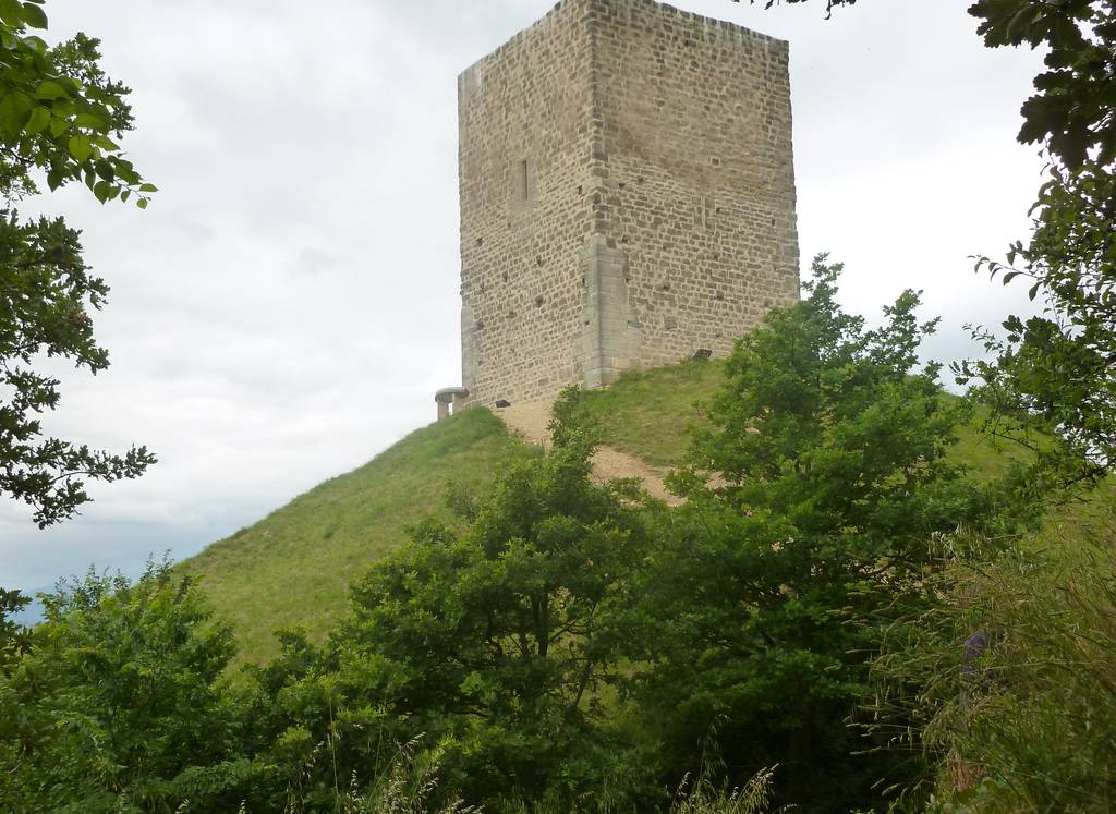
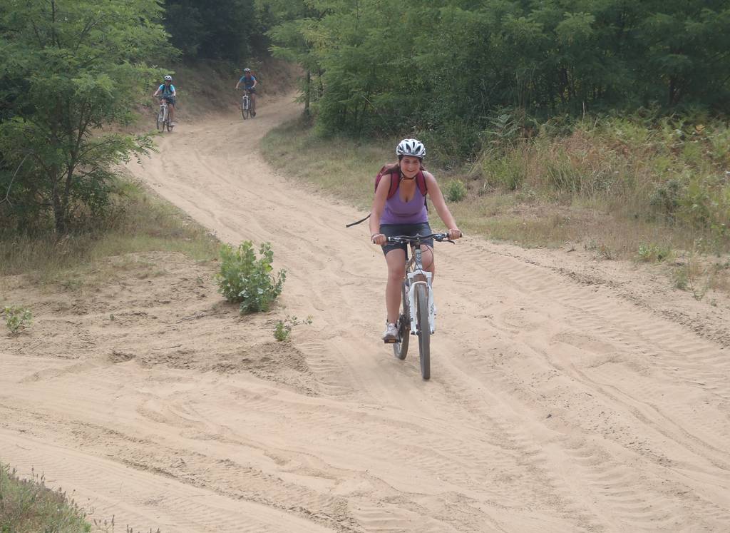
The Tour VTT de la Drôme des Collines is rich in diversity, both in terms of terrain and viewpoints. It is accessible to a wide range of people, even if they are regular mountain bikers.
It is accessible via 8 gateways, the 2 main ones being : Tain l'Hermitage (TER station) and Albon. Its counter-clockwise track is the opposite of that of other routes (except for cycling), and differs in the south-western part.
One MTB stage is equal to 2 stages in the opposite direction for equestrians. Relatively long, this tour can be completed in 4 stages for a regular rider, but the number of stages can be shortened or lengthened according to the rider's level.
Direction: counter-clockwise
Vertical rise +/- : 3695 m

