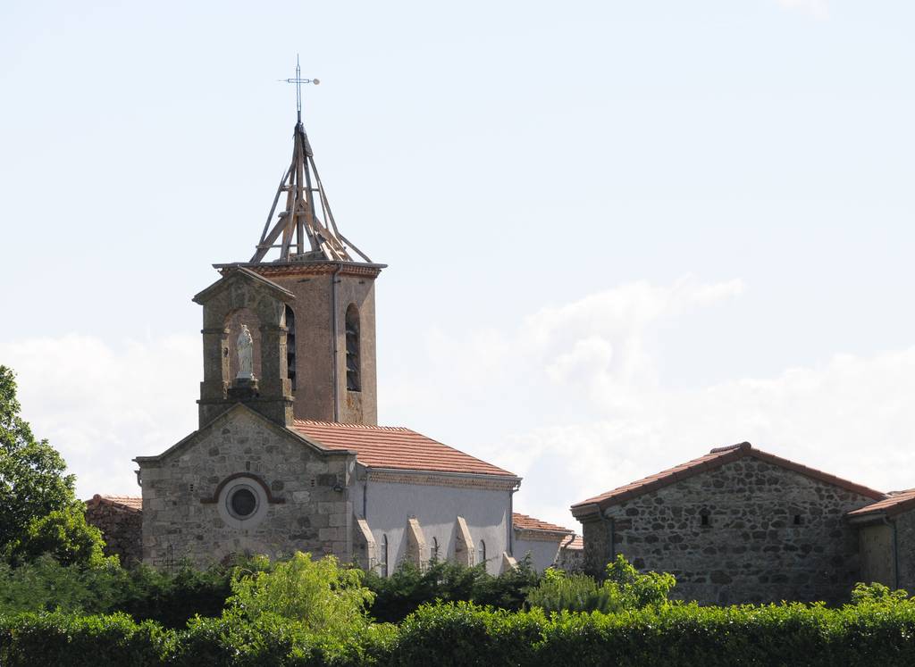
Saint Félicien
Distance: 25 km
Elevation: 540 m
Office de tourisme
Place de l'hôtel de ville
07410 SAINT-FÉLICIEN
Place de l'hôtel de ville
07410 SAINT-FÉLICIEN
The route offers magnificent panoramic views over the Rhône valley, before concluding with the ascent of three superb passes at 900 m altitude.
The route offers several variants, with options to extend to 36, 60 or 76 km.
Topoguide available from our reception desks.
Documents to download
Elevation Profile
Distance:
25 km
Elevation:
540 m

