Via the Red and Blue Crosses
Distance: 8 km
Elevation: 254 m
Duration: 2h 30min
Départ devant la mairie
26260 BREN
26260 BREN
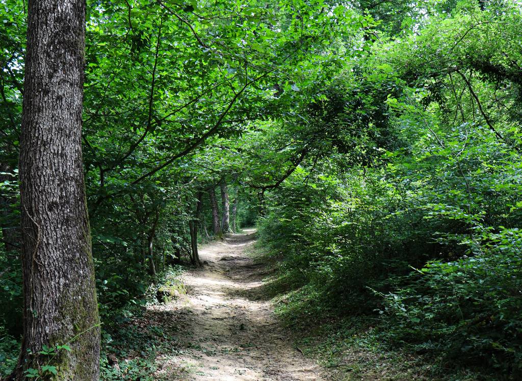
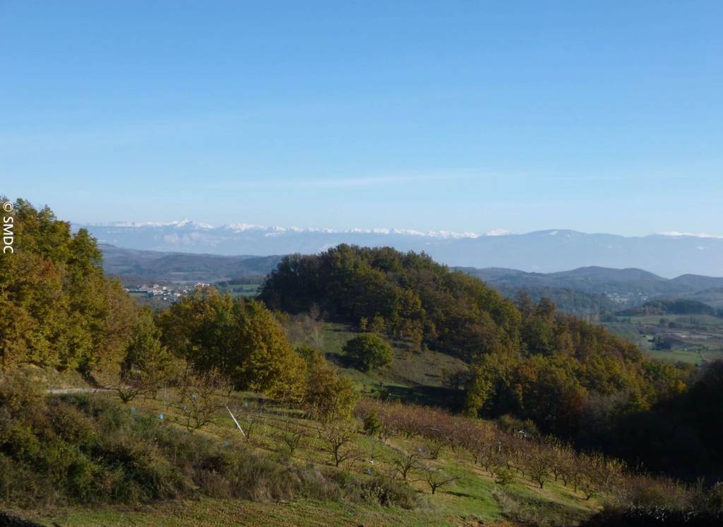
This pleasant hike alternates differents roads in forest or sandy roads and view on Vercors. Available on the trAHce app
Documents to download
 Show the technical sheet
Elevation Profile
Distance:
8 km
Elevation:
254 m
Duration:
2h 30min

