Hiking trail : Montchenu au cœur des collines
26350 MONTCHENU
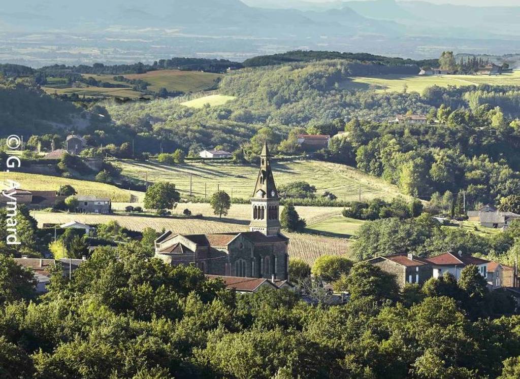
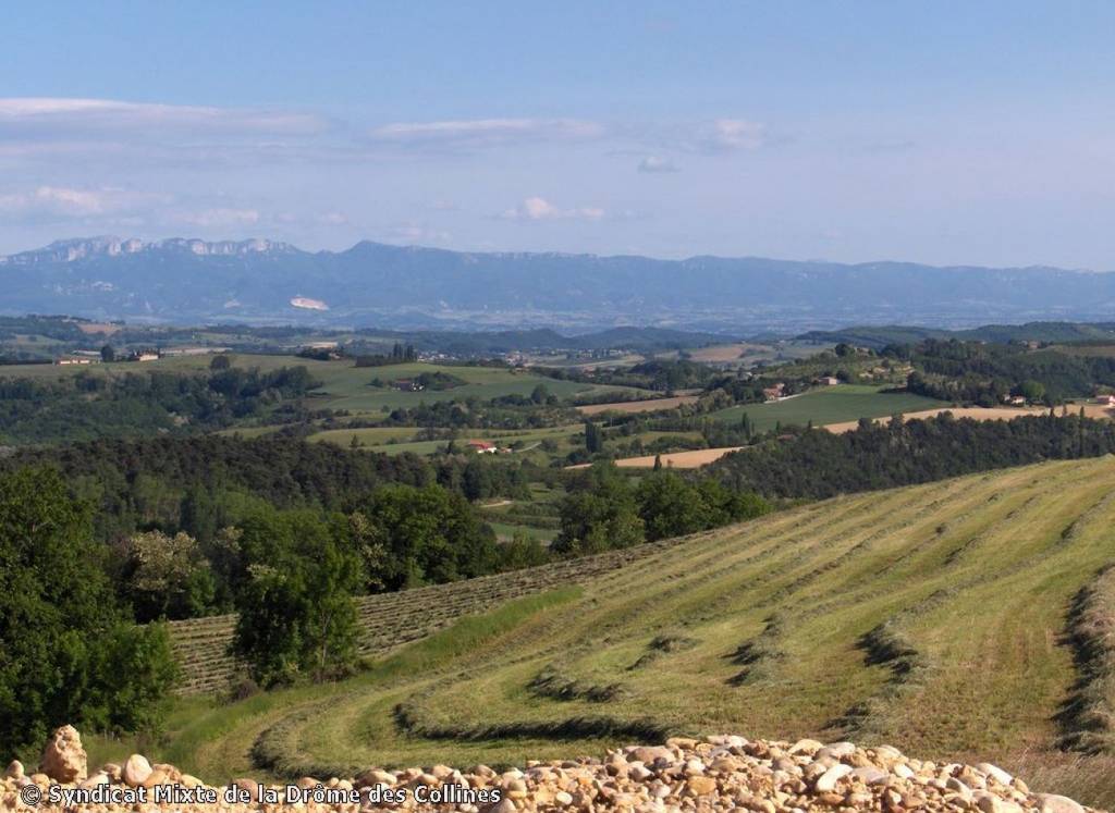
Beautiful panorama over The Vercors and Vivarais side hills
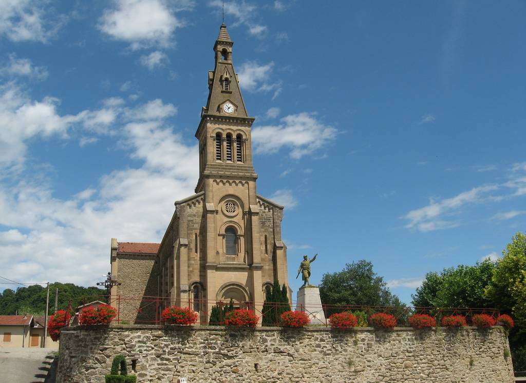
From the village square, follow signs for Château de Montchenu via Pichon.
the road to the right of the church. About 800m further on, join the D538 and cross it. Go straight on towards La Balive, skirting the walnut trees.
walnut trees. Go downhill, reach an intersection and turn left onto a grassy path that runs alongside the fields. After about 500 m, turn right at a small intersection. Continue along a large meadow, passing a small undergrowth that climbs up and out onto a wide path in front of a house. Go straight on and bypass the field, turning left at the next intersection.
Continue uphill until you reach the D538. Turn left for 100m, then right towards Château de Montchenu. From the esplanade,
Continue past the Madonna and take the downhill path alongside the château wall. At the end of the path, at the crossroads, turn left, pass the church and return to the starting point of the hike.
Documents to download
 Show the technical sheet

