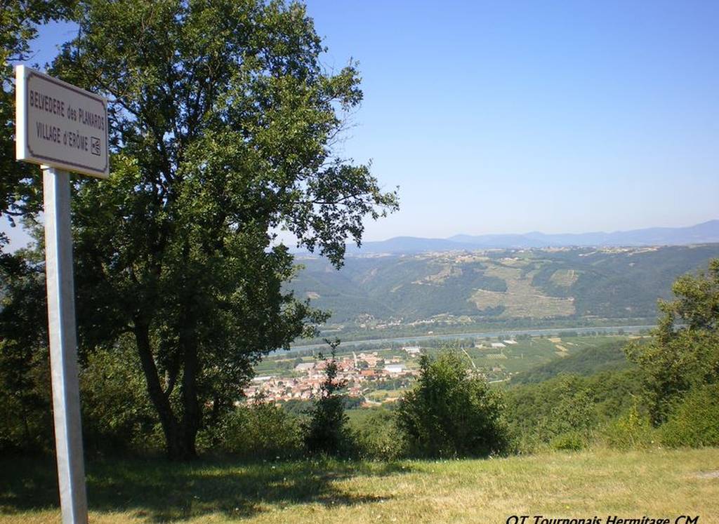
Hiking trail "Les Planards"
Panneau info rando
26600 GERVANS
Uphill slope on the planards plateau through the charming Gervans vale.
The descent offers a superb panorama over Gervans and the Rhône Valley.
Leave opposite the town hall. Leave the village via the Fayolle cellars (good path along the stream).
After 20 minutes, leave the "Randonnée des 3 ruisseaux" loop and turn right. You'll reach the plateau (house, Les Planards school) after 1h15.
On the tarmac, turn left twice, then right at a cross. The path then overhangs a ravine. Return in half an hour with the "Randonnée des 3 ruisseaux" loop, taking a passage through the vineyards, then a few hairpin bends before the hamlet of Les Blancs. Gervans is 5 minutes away.
Documents to download
 Show the technical sheet

