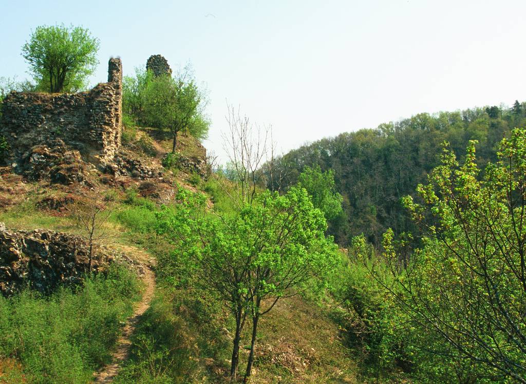
The Iserand Castle
Distance: 7 km
Elevation: 200 m
Duration: 2h 30min
Randonnée "Le Château d'Iserand"
Panneau info rando
07610 SÉCHERAS
Panneau info rando
07610 SÉCHERAS
Go search the misterious Iserand castle and its turbulent past. Tracks indicators are yellow and white.
Documents to download
 Show the technical sheet
Elevation Profile
Distance:
7 km
Elevation:
200 m
Duration:
2h 30min

