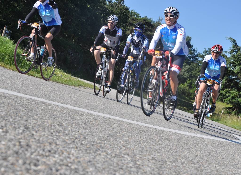
Cyclo route "Bozas"
Distance: 20 km
Elevation: 463 m
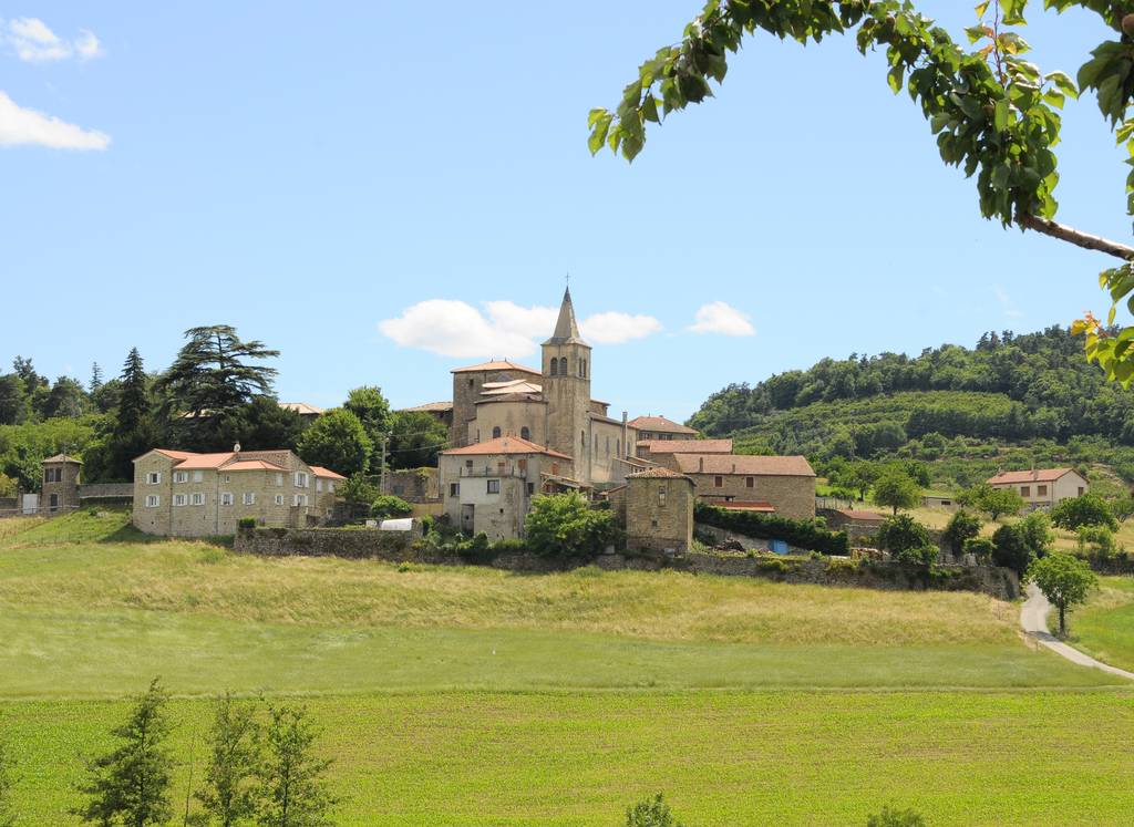
Place de l'église
07410 BOZAS
07410 BOZAS
A gentle walk with a chance to stop for a horse-ride and a stroll through the villages of Arlebosc and Boucieu-le-Roi.
The route follows country roads without traffic.
Documents to download
Elevation Profile
Distance:
20 km
Elevation:
463 m

