Espace pro
Press area
Espace groupe
Ticketing
en
Français
Deutsch
Nederlands
Discovering
Where to sleep
WHERE TO EAT
Agenda
USEFUL INFORMATION
Discovering
Where to sleep
WHERE TO EAT
Agenda
USEFUL INFORMATION
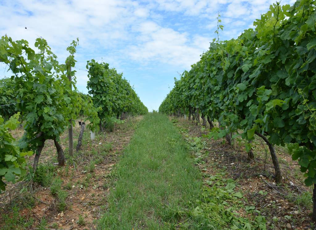
From islands to vineyards
Distance:16 km
Elevation:20 m
Daily duration:3h 53min
Show map
Previous
Next
26600 PONT-DE-L'ISÈRE
Contact by email
+33 4 75 08 10 23
A change of scenery on this loop, following rivers and streams through vineyards and orchards.
Documents to download
Download plan (GPX 68.2 KB)
Elevation Profile
(Demo)
Min elevation:
280m
Max elevation:
473m
Elevation gain:
+442m
Elevation loss:
-441m
Close map