Espace pro
Press area
Espace groupe
Ticketing
en
Français
Deutsch
Nederlands
Discovering
Where to sleep
WHERE TO EAT
Agenda
USEFUL INFORMATION
Discovering
Where to sleep
WHERE TO EAT
Agenda
USEFUL INFORMATION
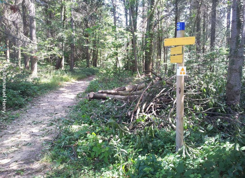
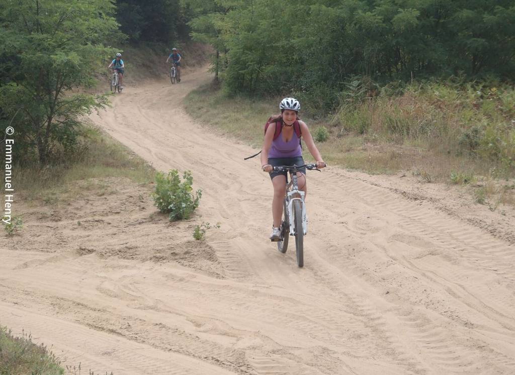
Mountain Bike trail Around the Herbasse
Distance:19 km
Elevation:280 m
Duration:2h
Show map
Previous
Next
Départ Pont de Chabran à 2km de Saint Donat sur la D67
26260 SAINT-DONAT-SUR-L'HERBASSE
Contact by email
+33 4 75 45 15 32
+33 4 75 08 10 23
https://www.onpiste.com/explorer/r…
Panoramic views of the Vercors and passage near the castle of Charmes sur l'Herbasse
Documents to download
Download plan (GPX 150.5 KB)
Download plan (GPX 102.1 KB)
Elevation Profile
(Demo)
Min elevation:
280m
Max elevation:
473m
Elevation gain:
+442m
Elevation loss:
-441m
Close map