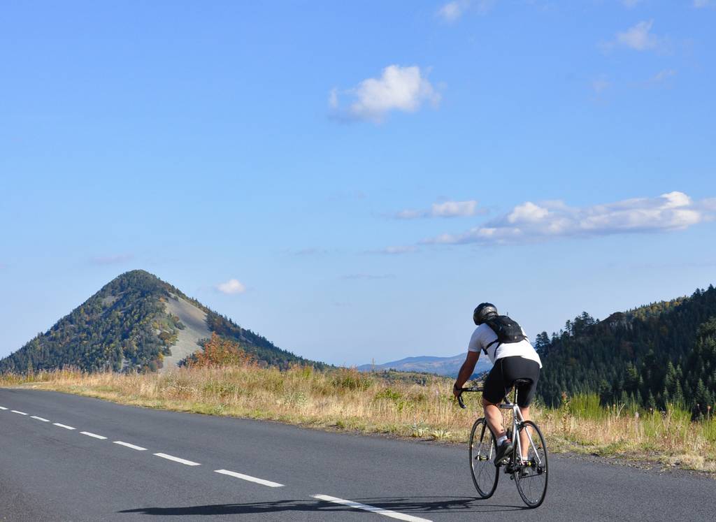
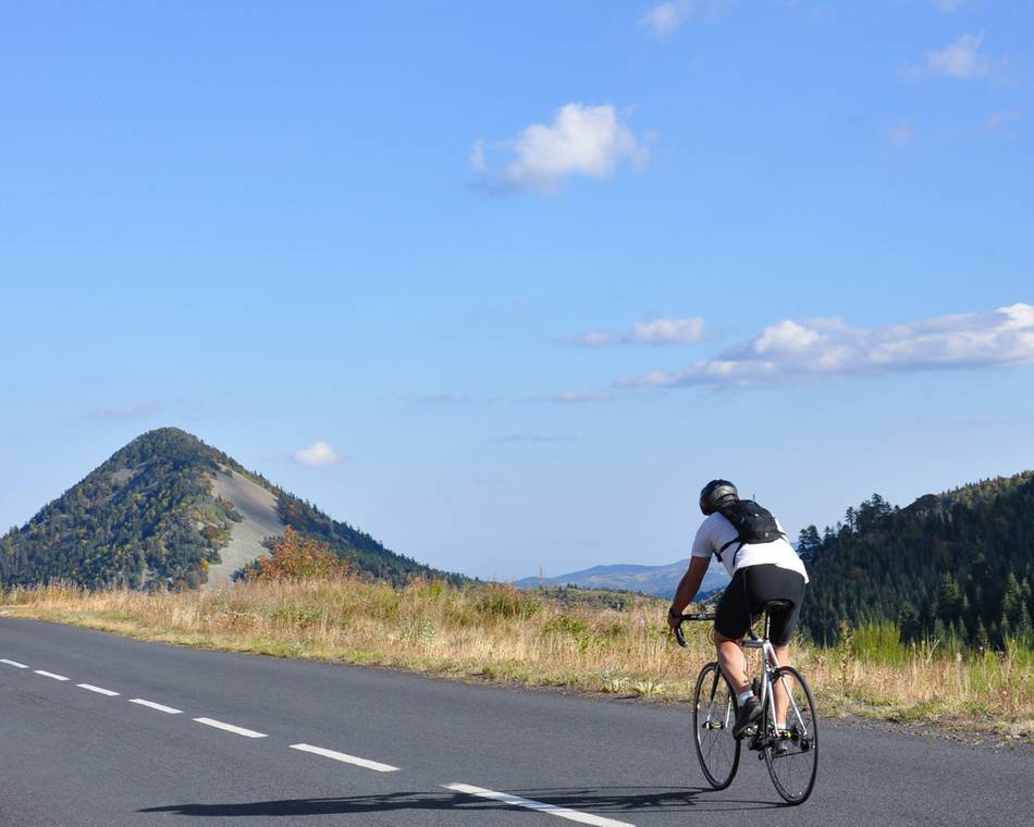
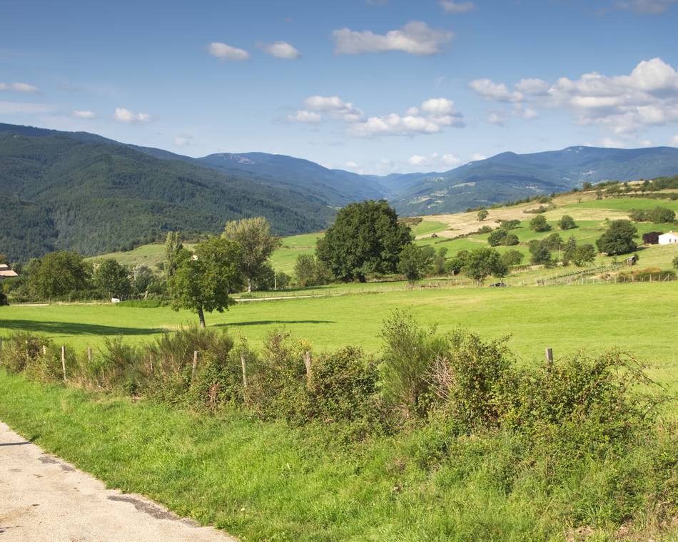
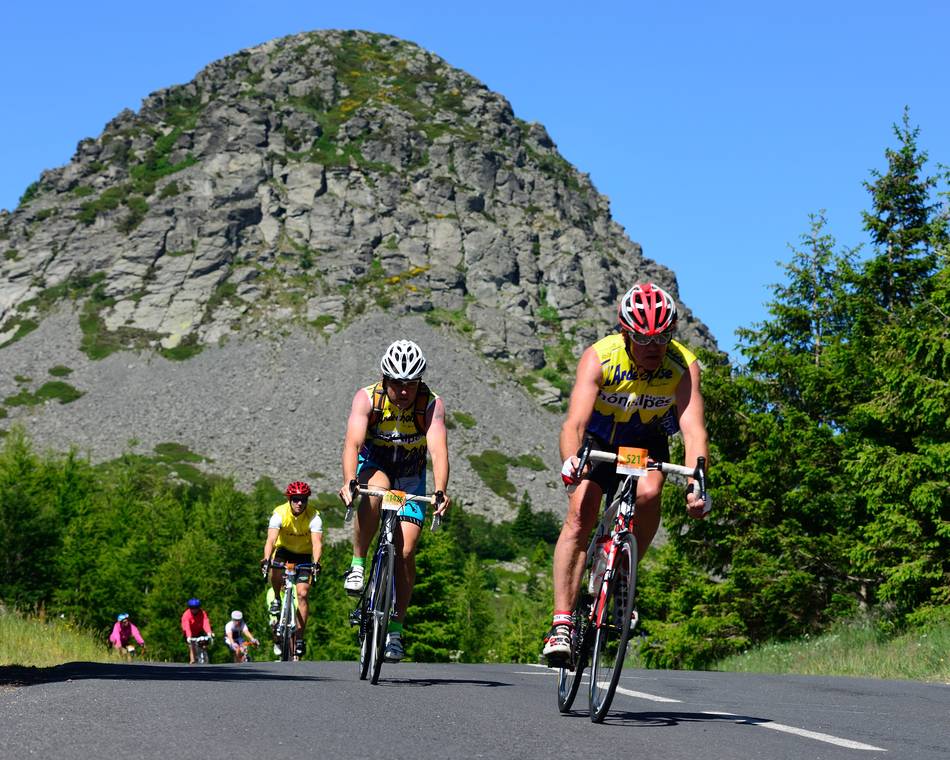
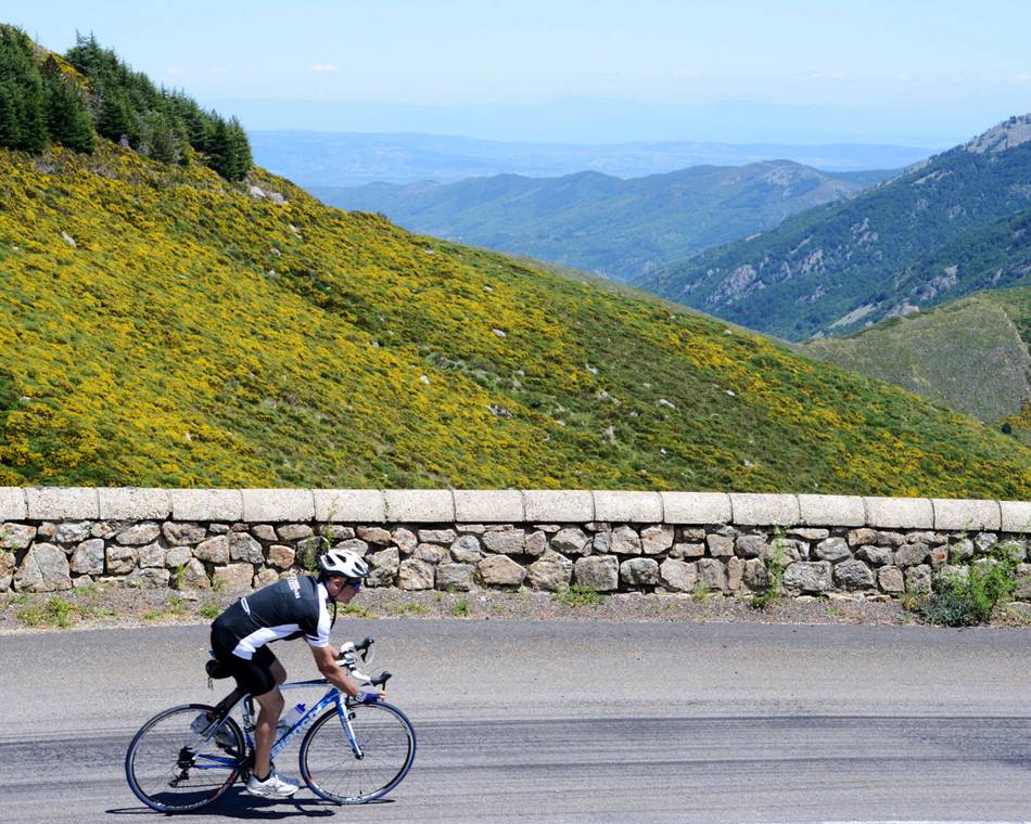
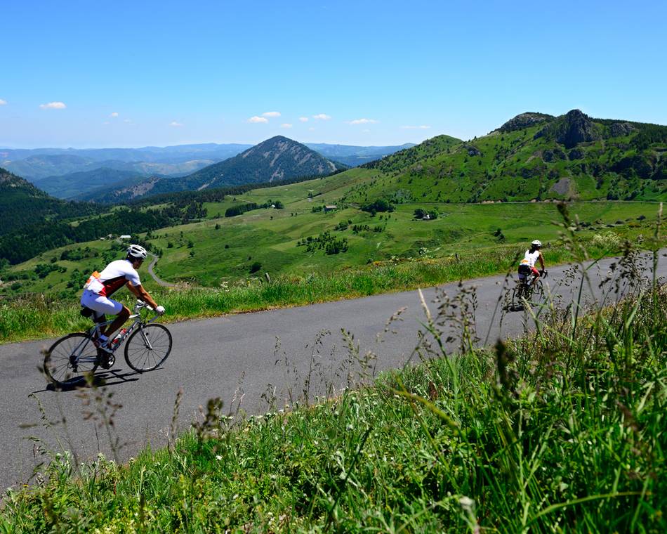
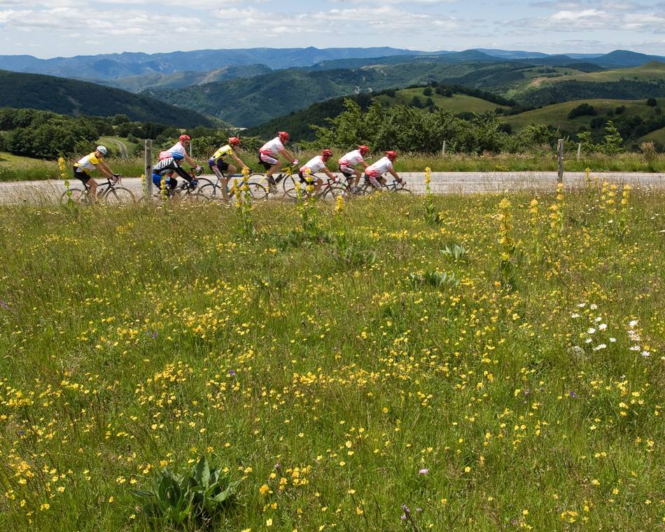
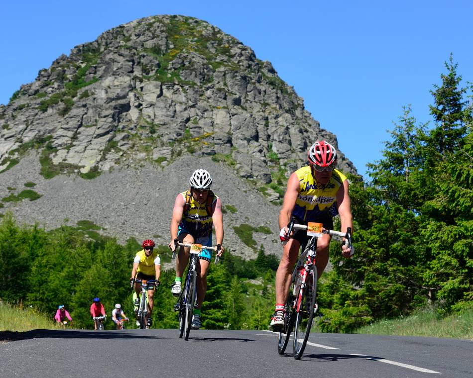
L'Ardéchoise : Les Sucs
Anfahrtsplan
- Distanz
- 234 km
- Höhe
- 4310 m
- Dauer des Roaming:
- 3 Tage
Beschreibung
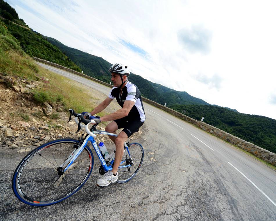
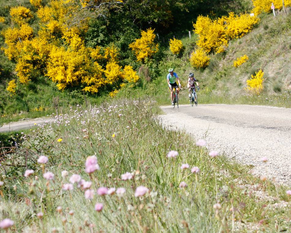
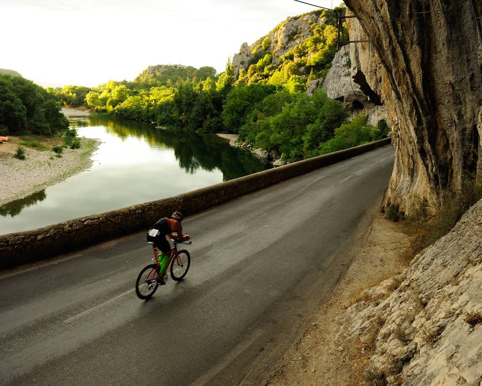
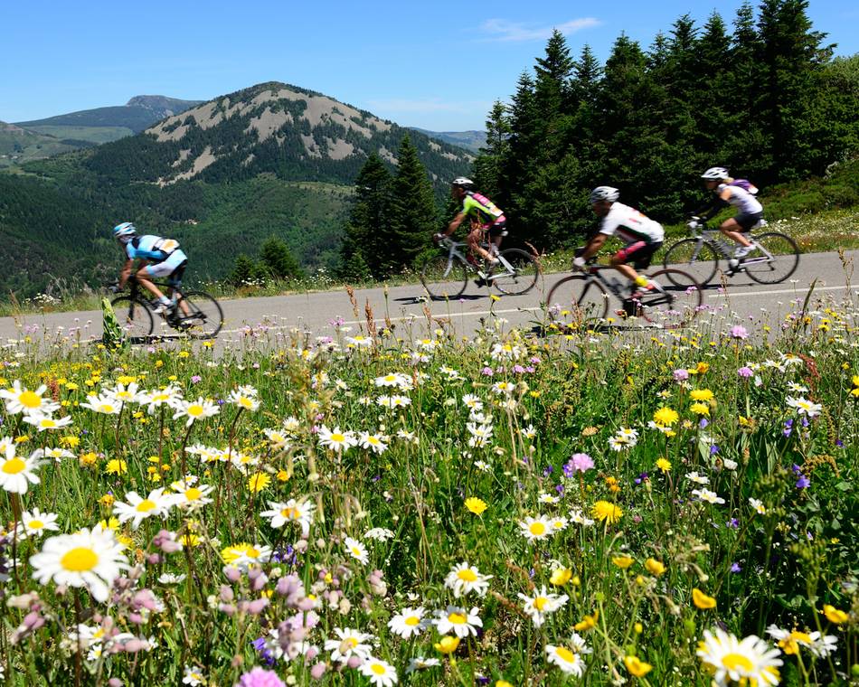
Onwards and updwards... Les Sucs section marks the highest summit of the Ardéchoise course. The natural landscape is shaped by volcanoes that appear even more imposing due to the vast open spaces in between. A hash mountainous land which lays claim to Le Mézenc, the highest peak in Ardèche. A sporting challenge running almost equitably along the Atlantic and Mediterranean slopes, this circuit boasts some beautiful scenery, superb panaromic views over the Alpine range and, of course, typical mountain villages.
Preise
Geöffnet
Merkmale
Gesprochene Sprachen
- Französich
Broschüren runterladen
Interaktive Karte
Siehe auch
Unsere Partner
L'Ardéchoise : Les Sucs
Saint-Félicien
Unsere Partner
L'Ardéchoise : L'Ardèche
Saint-Félicien
Unsere Partner
L'Ardéchoise : L'Allier
Saint-Félicien
Unsere Partner
L'Ardéchoise : L'Ardèche Verte - Cance
Saint-Félicien
Unsere Partner
L'Ardéchoise : La Loire
Saint-Félicien
Unsere Partner
L'Ardéchoise : Le Tanargue
Saint-Félicien
Unsere Partner
L'Ardéchoise : les Boutières
Saint-Félicien
Unsere Partner
L'Ardéchoise : L'Ardéchoise Vélo Marathon
Saint-Félicien
Unsere Partner
L'Ardéchoise : La Châtaigne
Saint-Félicien
Unsere Partner
L'Ardéchoise : La Méridionale
Saint-Félicien
Unsere Partner
L'Ardéchoise : La Montagne Ardéchoise
Saint-Félicien
Unsere Partner
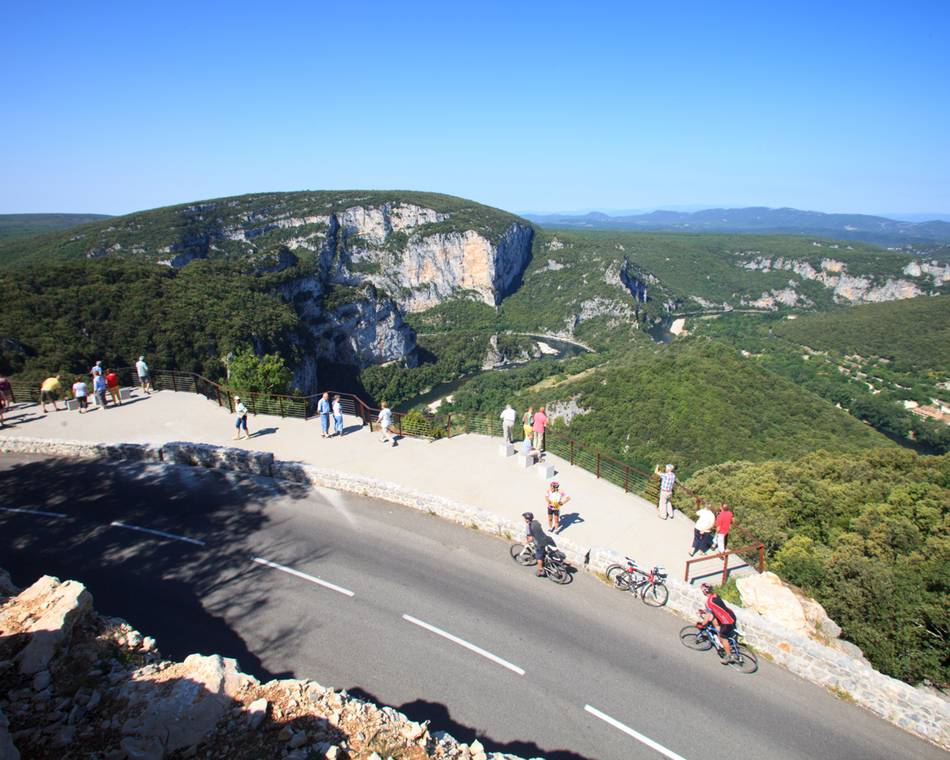
L'Ardéchoise : Les Gorges
Saint-Félicien
Unsere Partner
L'Ardéchoise : la Volcanique
Saint-Félicien
Unsere Partner
L'Ardéchoise : Les Hautes Terres
Saint-Félicien
Unsere Partner
L'Ardéchoise : L'Ardèche Verte
Saint-Félicien
Unsere Partner
L'Ardéchoise
Saint-Félicien
-
Unsere Partner
-
Village
07410 SAINT-FÉLICIEN - E-Mail senden
- +33 4 75 08 10 23
- +33 4 75 06 06 12
- https://www.ardechoise.com/

