L'Ardéchoise : Les Hautes Terres
Anfahrtsplan
- Distanz
- 346 km
- Höhe
- 6540 m
- Dauer des Roaming:
- 3 Tage
Beschreibung
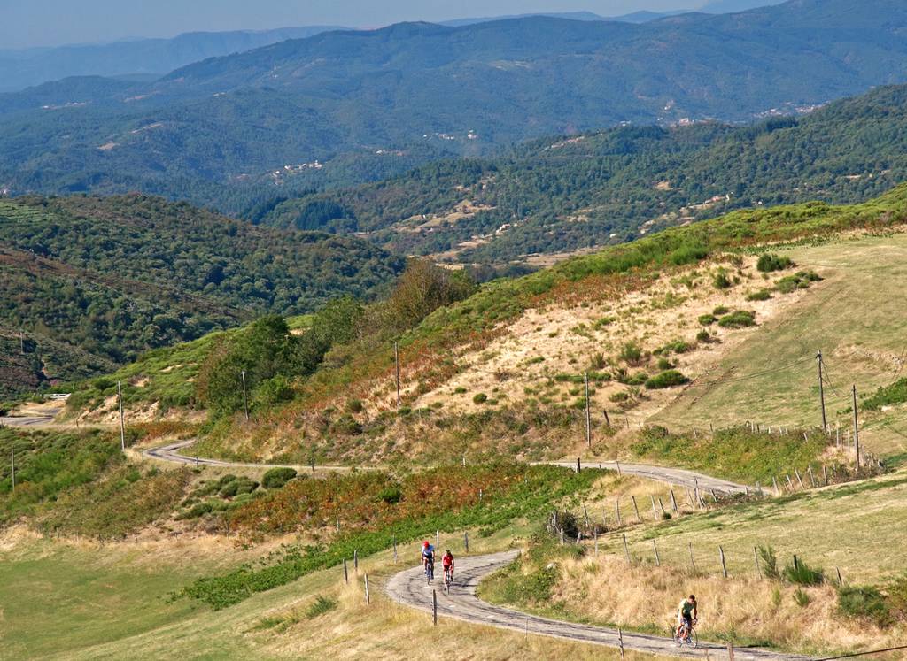
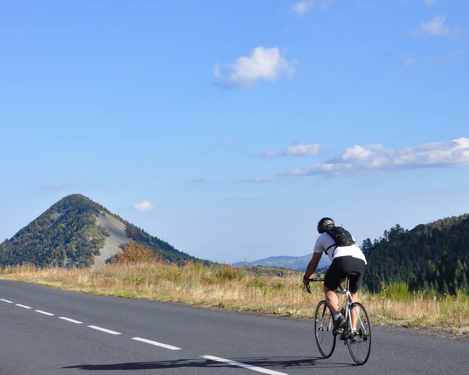
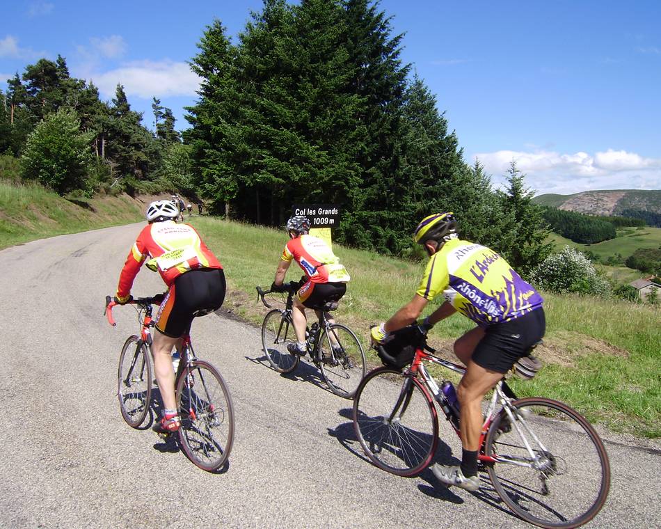
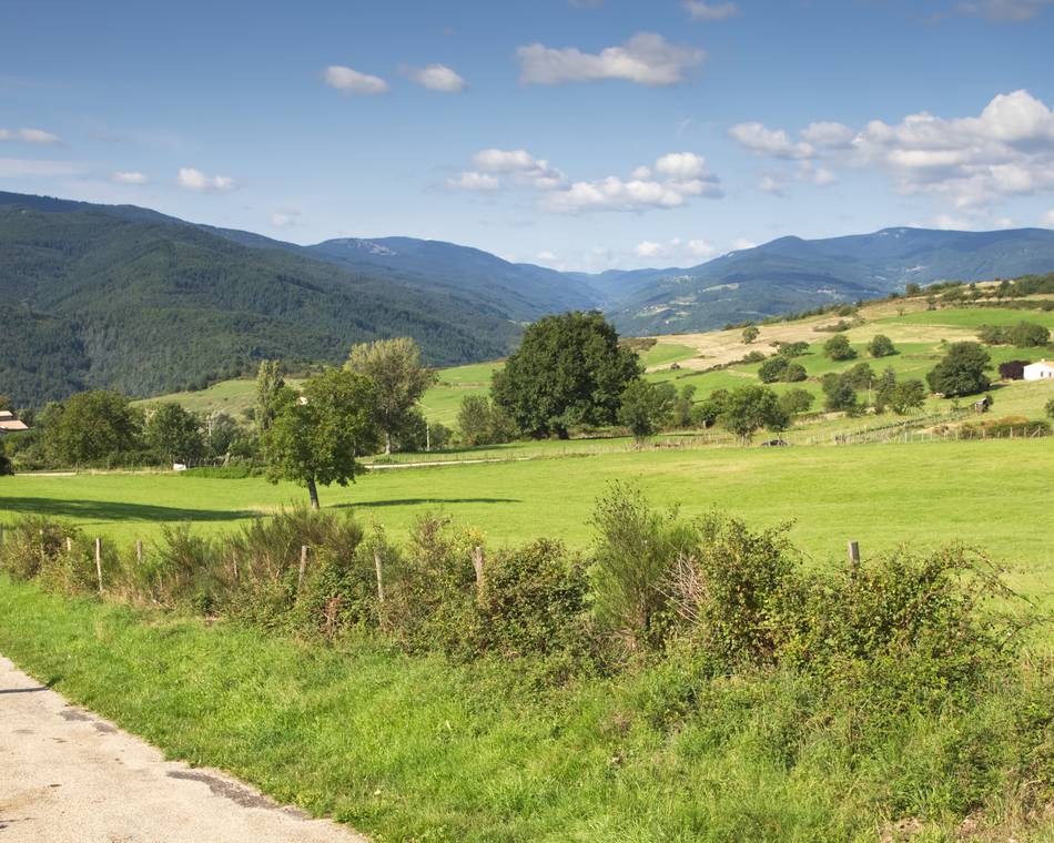
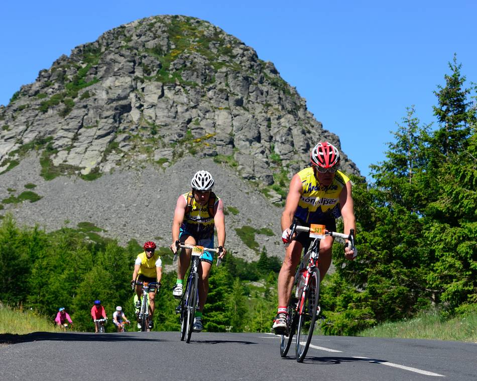
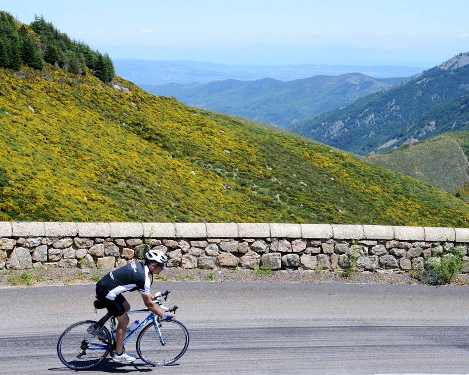
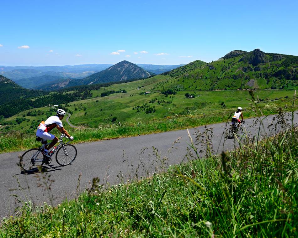
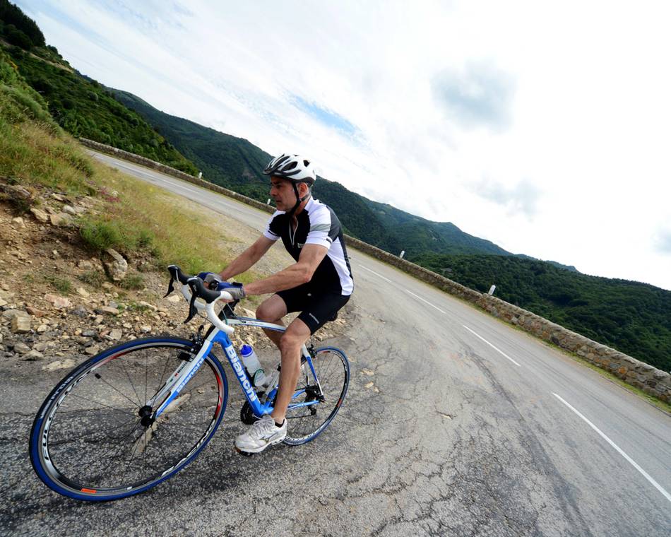
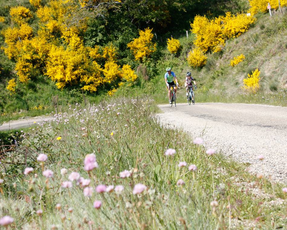
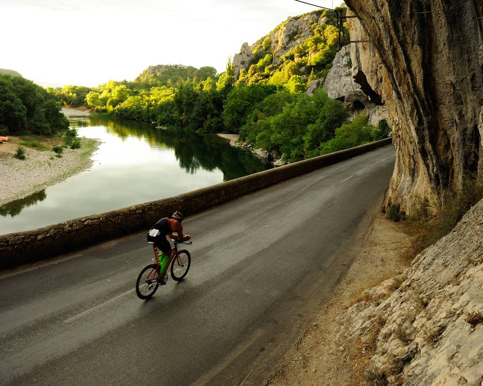
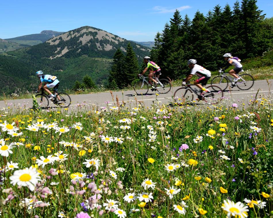
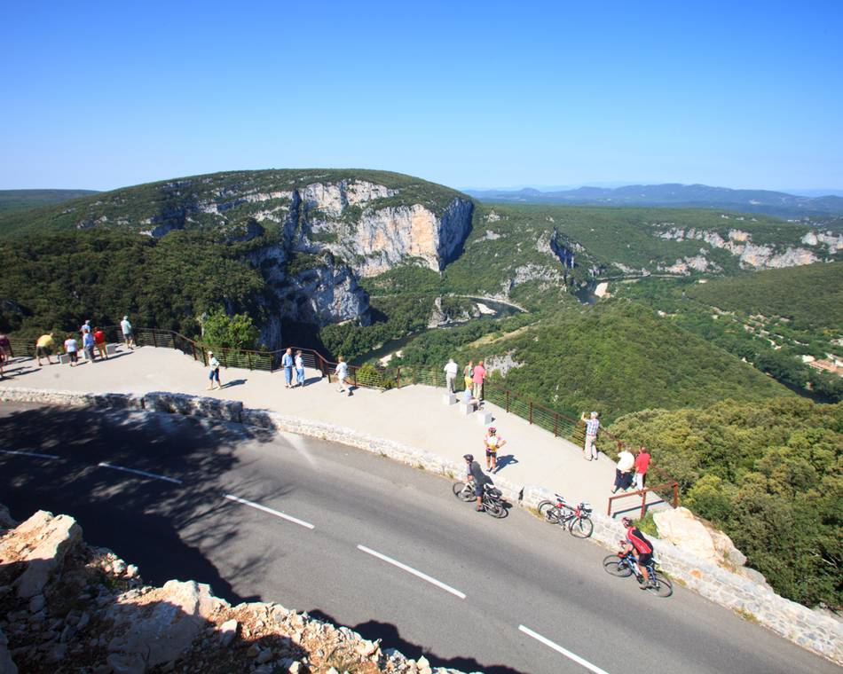
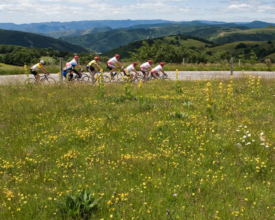
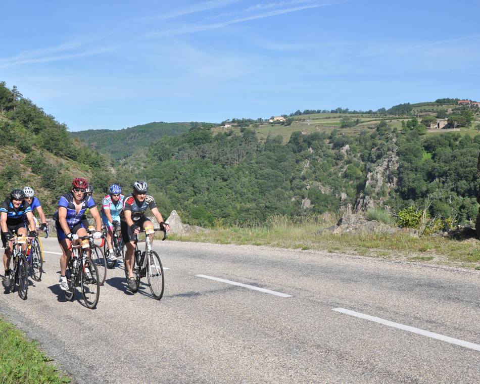
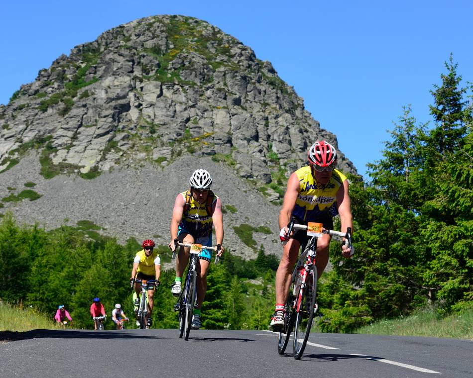
In this section, the Ardèche volcanoes and sucs are comparable to those fêted in neighbouring Auvergne. The Ardèche mountains reveal their Atlantic slopes, with an exceptional light and glorious nature marking the 21 ascents, almost all of them reaching above 1000m altitude. The ridges are formidable but rich with reward: including the Mont Mézenc, the highest point in Ardèche, and Sainte-Eulalie, situated at the foot of Mont Gerbier de Jonc. Make sure you stop at Lake Issarlès, a volcanic gem nestling in a crater surrounded by fir tree forests and basalt flows. The water is incredibly fresh and pure.
Preise
Geöffnet
Merkmale
Gesprochene Sprachen
- Französich
Broschüren runterladen
Interaktive Karte
Siehe auch
-
Unsere Partner
-
Village
07410 SAINT-FÉLICIEN - E-Mail senden
- +33 4 75 08 10 23
- +33 4 75 06 06 12
- https://www.ardechoise.com/

