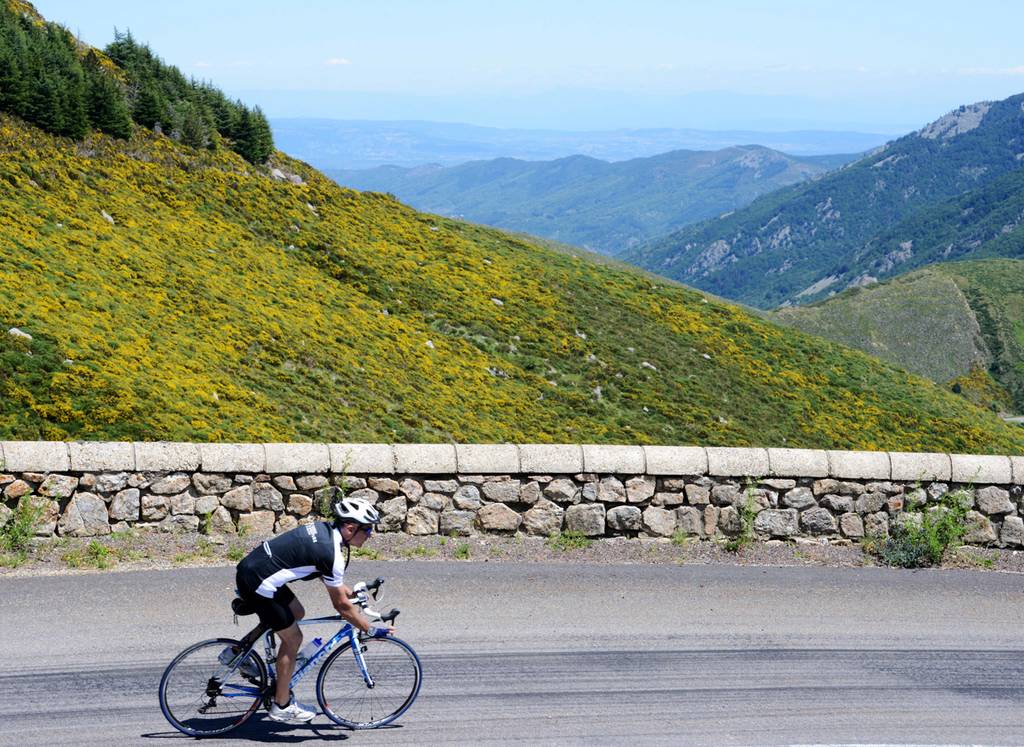
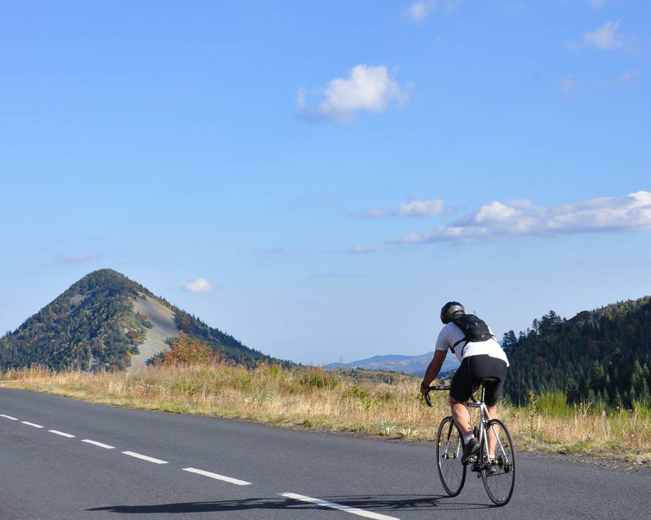
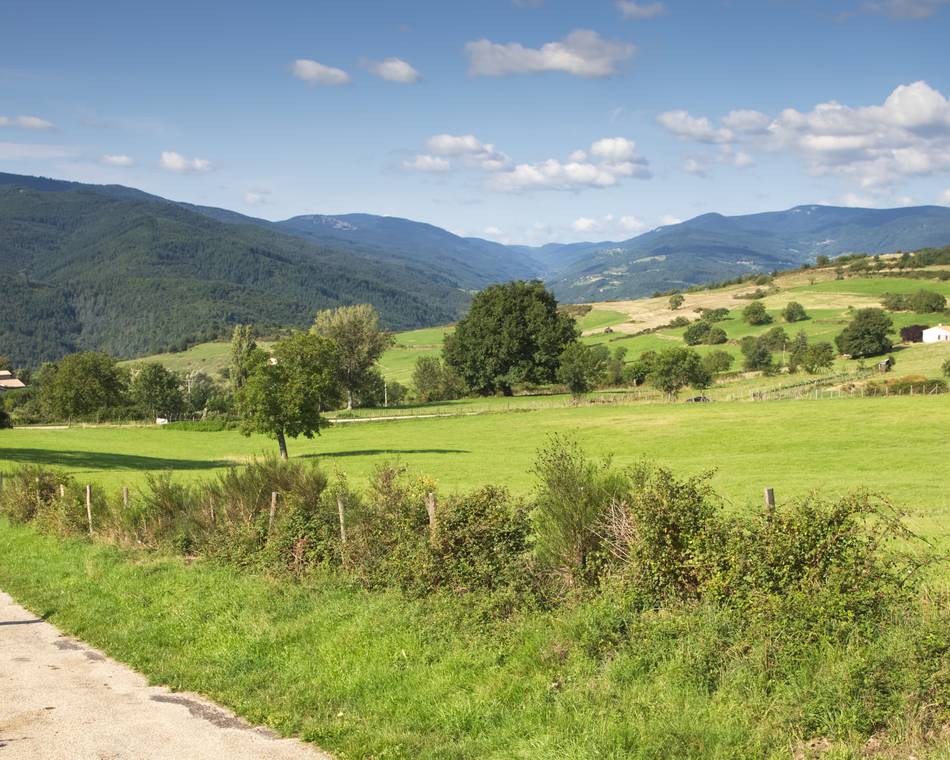
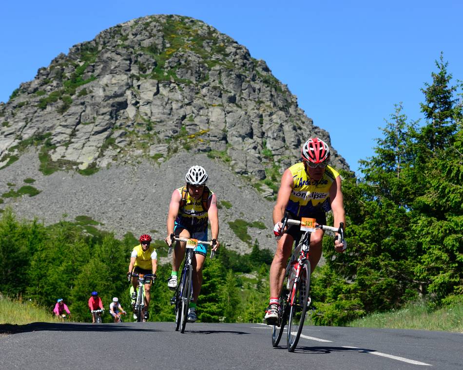
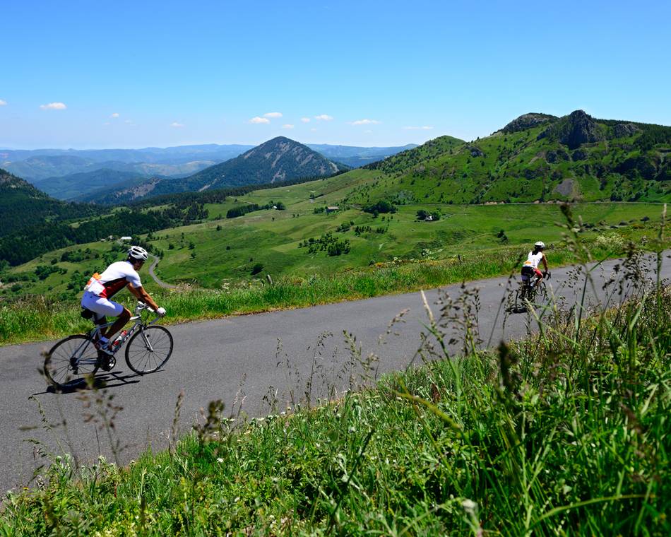
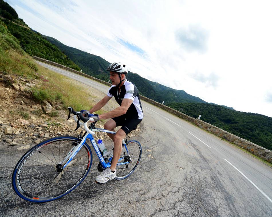
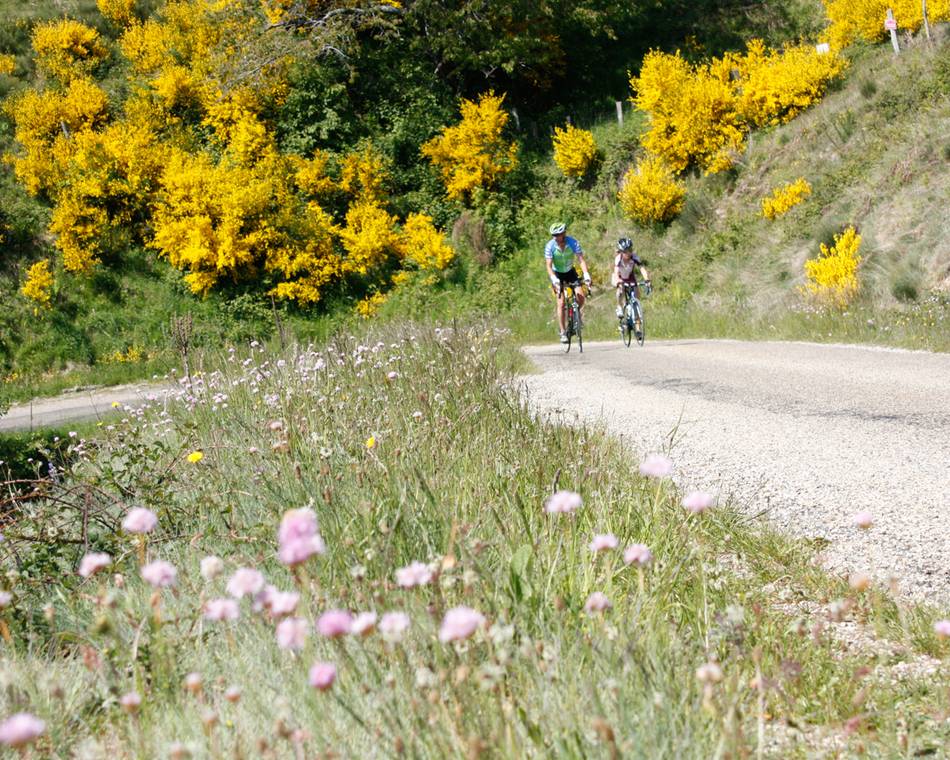
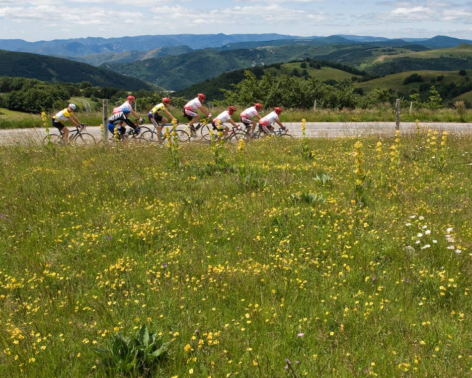
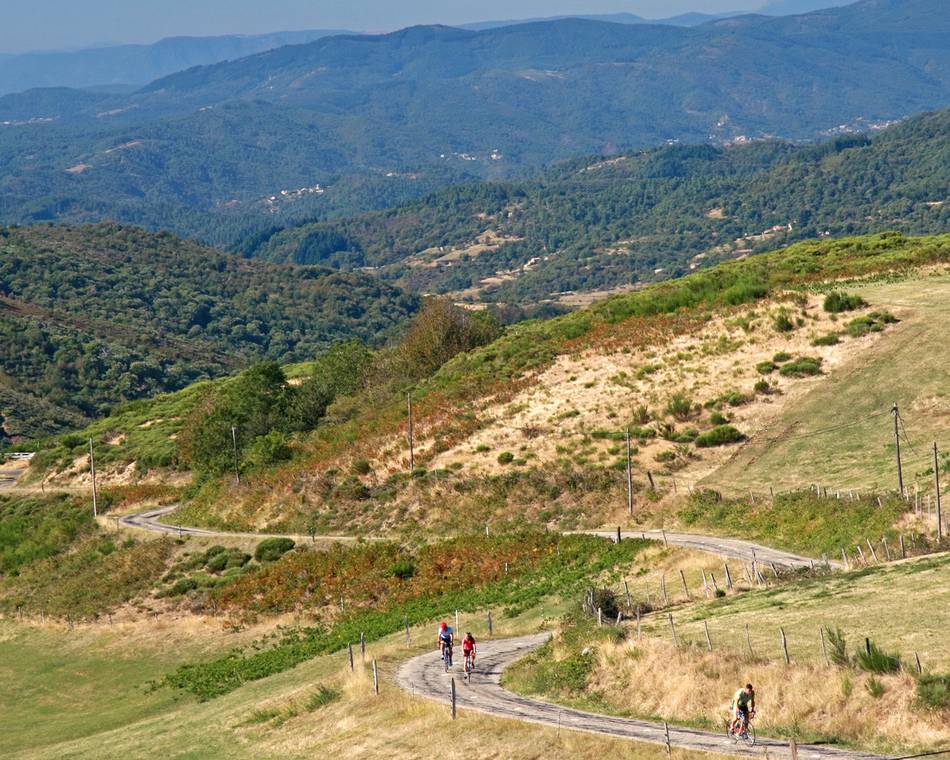
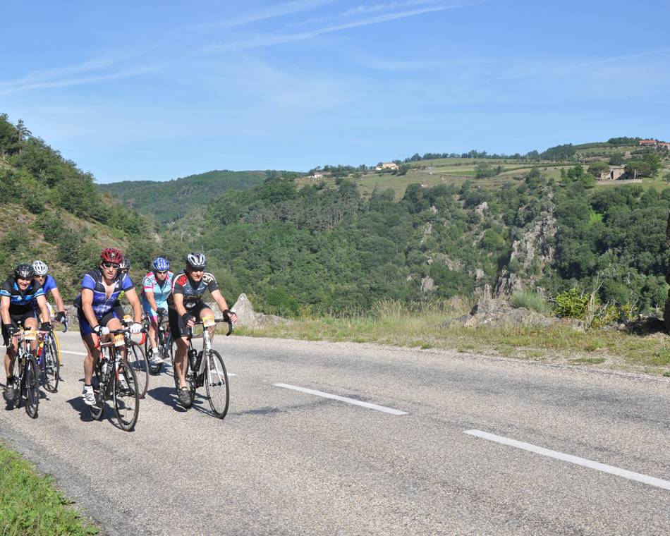
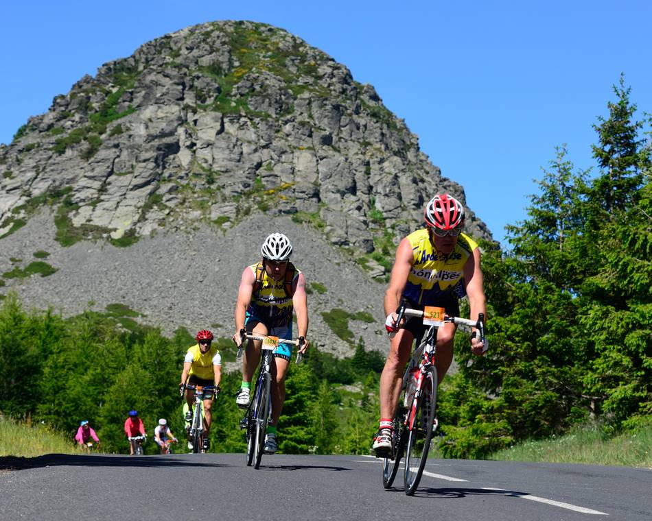
L'Ardéchoise : Le Tanargue
Anfahrtsplan
- Distanz
- 386 km
- Höhe
- 7440 m
- Dauer des Roaming:
- 3 Tage
Beschreibung
This majestic volcanic massif has a rare beauty, its facade of shredded rock symbolic of the highlands of Ardèche towards the Cévennes. Here chestnut trees abound, among mountain torrents and rare species of predators. But in the southern half of this circuit the habitat and vegetation reflects the proximity to southern France, in particular the décor of Chassiers, another Village de Caractère. Be careful not to languish too long in this gentle terrain however – even experienced cyclists will find the return through the moutain peaks and ridges of Ardèche tough-going.
Preise
Geöffnet
Merkmale
Gesprochene Sprachen
- Französich
Broschüren runterladen
Interaktive Karte
Siehe auch
Unsere Partner
L'Ardéchoise : Les Sucs
Saint-Félicien
Unsere Partner
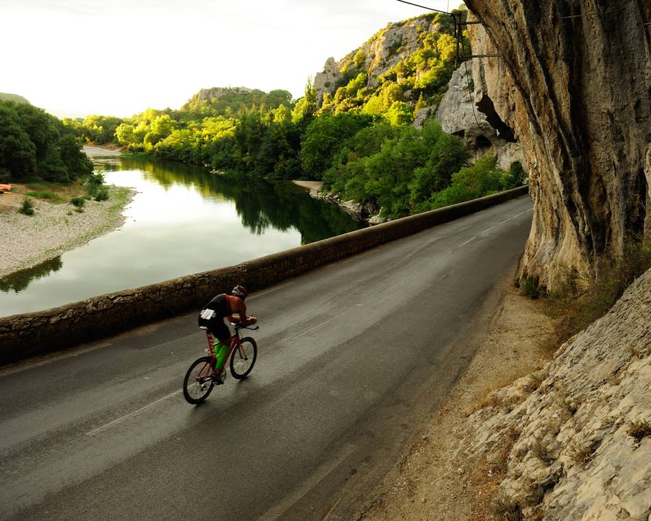
L'Ardéchoise : L'Ardèche
Saint-Félicien
Unsere Partner
L'Ardéchoise : L'Allier
Saint-Félicien
Unsere Partner
L'Ardéchoise : L'Ardèche Verte - Cance
Saint-Félicien
Unsere Partner
L'Ardéchoise : La Loire
Saint-Félicien
Unsere Partner
L'Ardéchoise : les Boutières
Saint-Félicien
Unsere Partner
L'Ardéchoise : L'Ardéchoise Vélo Marathon
Saint-Félicien
Unsere Partner
L'Ardéchoise : La Châtaigne
Saint-Félicien
Unsere Partner
L'Ardéchoise : La Méridionale
Saint-Félicien
Unsere Partner
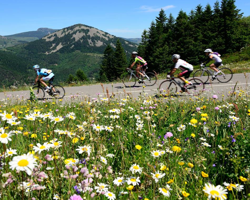
L'Ardéchoise : La Montagne Ardéchoise
Saint-Félicien
Unsere Partner
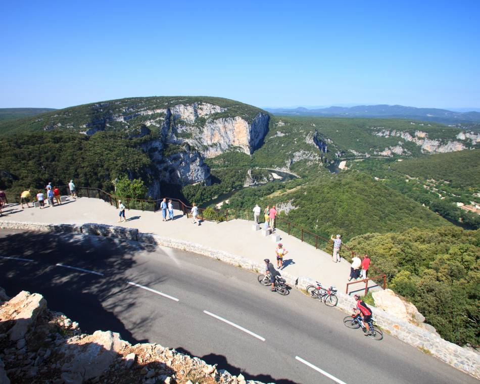
L'Ardéchoise : Les Gorges
Saint-Félicien
Unsere Partner
L'Ardéchoise : la Volcanique
Saint-Félicien
Unsere Partner
L'Ardéchoise : Les Hautes Terres
Saint-Félicien
Unsere Partner
L'Ardéchoise : L'Ardèche Verte
Saint-Félicien
Unsere Partner
L'Ardéchoise
Saint-Félicien
-
Unsere Partner
-
Village
07410 SAINT-FÉLICIEN - E-Mail senden
- +33 4 75 08 10 23
- +33 4 75 06 06 12

