Le Col du Marchand

-
Unsere Partner
-
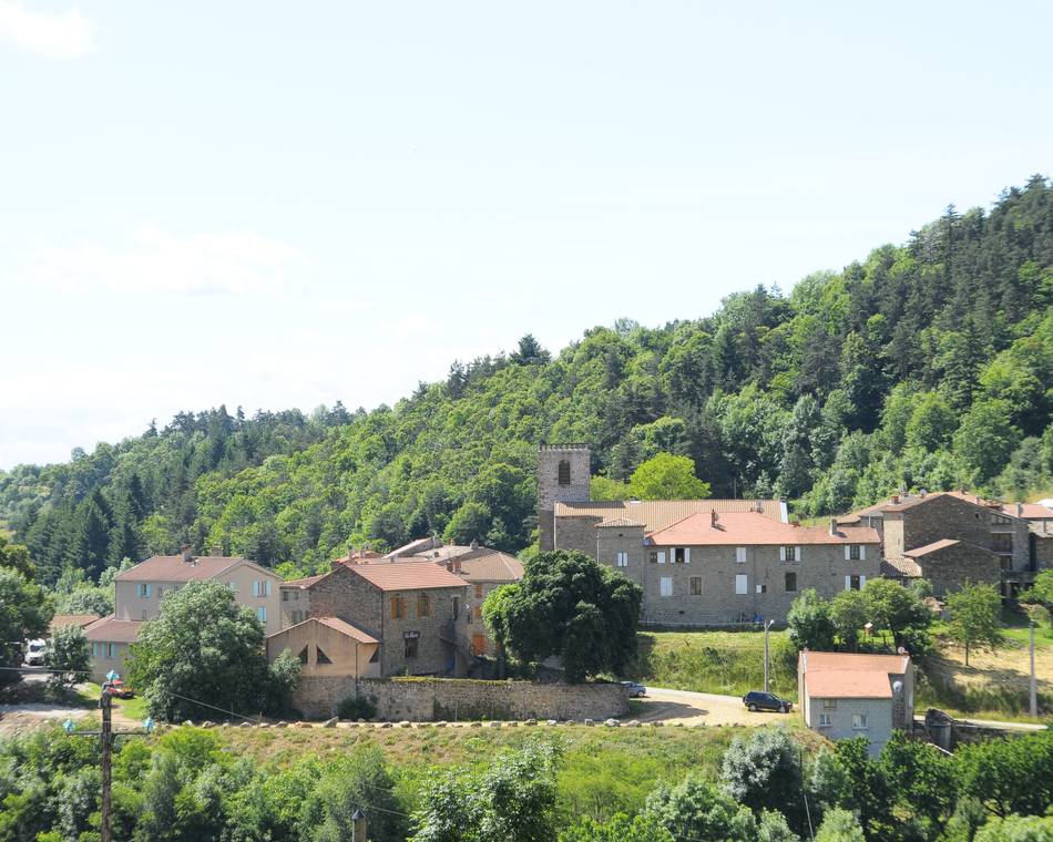
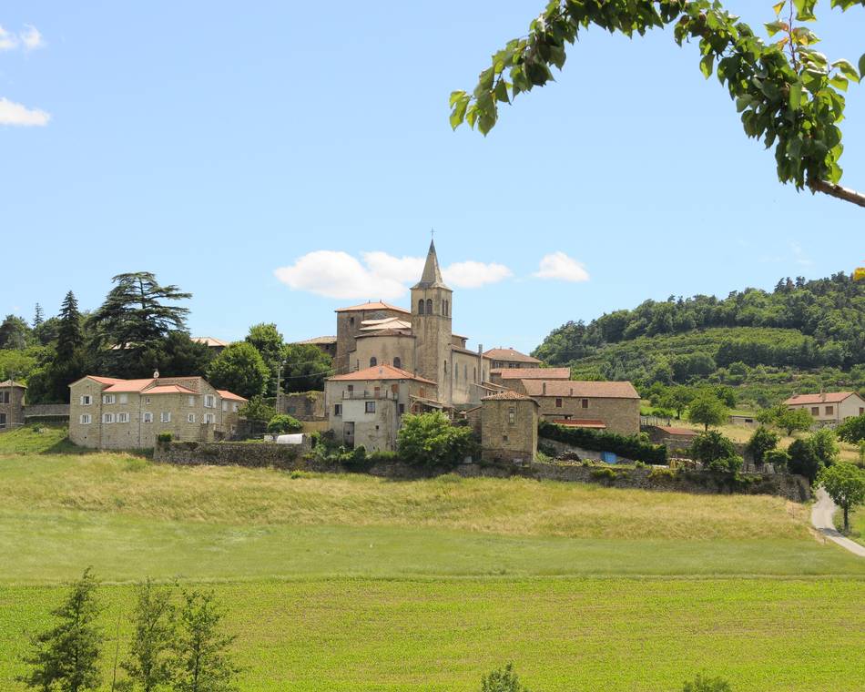
Village
07410 PAILHARÈS - E-Mail senden
- +33 4 75 08 10 23
- +33 4 75 06 06 12
- https://rando-ardeche-hermitage.fr…
Anfahrtsplan
- Distanz
- 10 km
- Höhe
- 407 m
Beschreibung
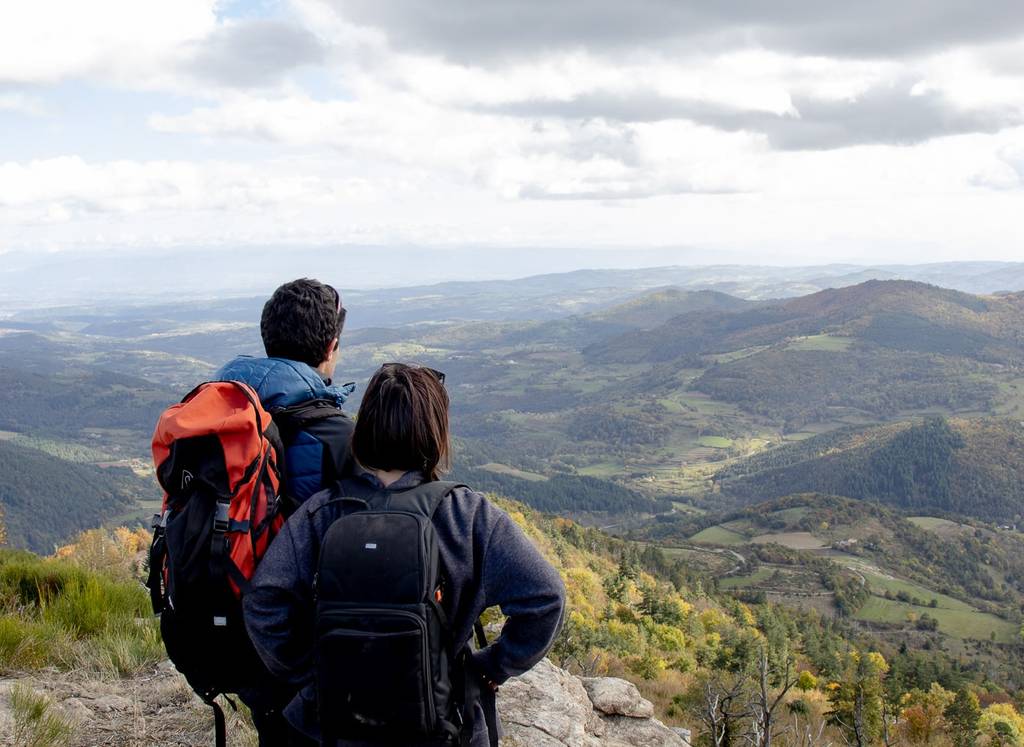
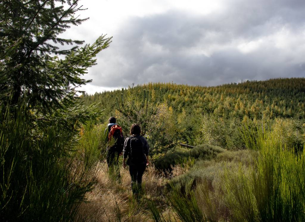
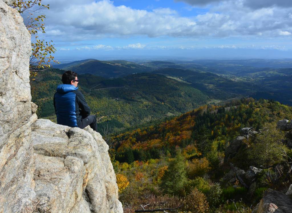
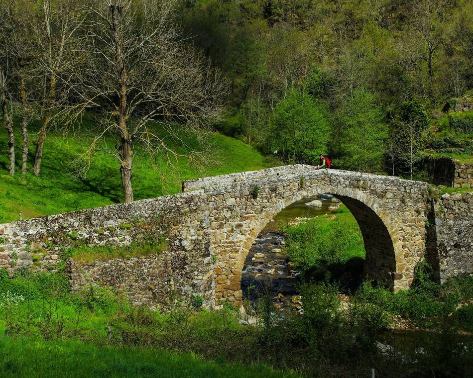
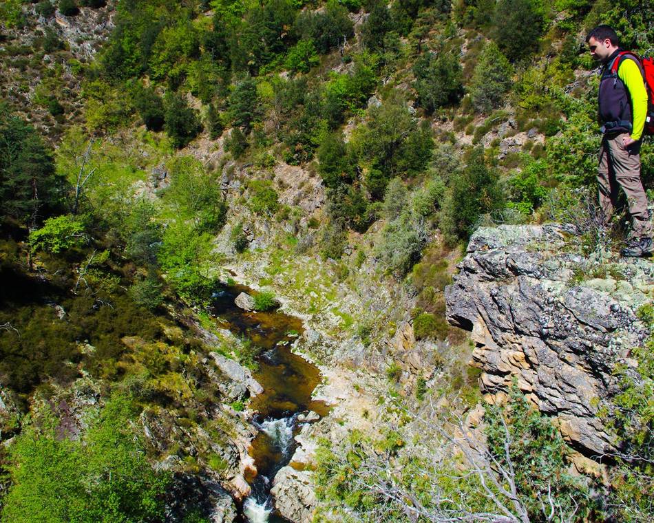
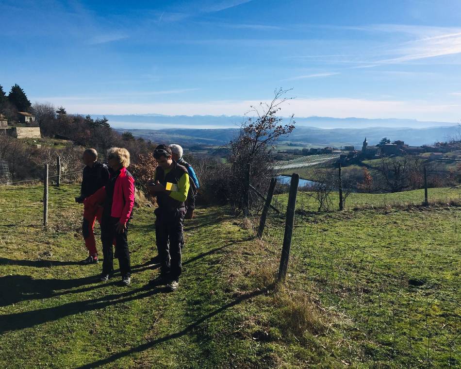
Der Aufstieg zum Pass erfolgt auf sehr schönen Pfaden zwischen Wäldern und Weiden. Vom Pass aus bleibt der Aufstieg auf das Massiv des Sardier mit einem herrlichen Panorama über das Gebiet. Es folgt der Abstieg durch den abgelegenen Weiler Les Bauds und Nectardechois.
Sehr angenehme Wanderung, die wegen ihrer Aussichtspunkte bemerkenswert ist.
Topo-Guide kann für 8€ in unserem Büro gekauft werden.
Preise
Geöffnet
Merkmale
Gesprochene Sprachen
- Englich
- Französich
Services
- Haustiere akzeptiert
Broschüren runterladen
Interaktive Karte
Siehe auch
Unsere Partner
Montplot
Saint-Victor
Unsere Partner
Le Moulin des Gaillards
Saint-Félicien
Unsere Partner
Randonnée de Brudon à Sauze
Vaudevant
Unsere Partner
Raillon
Saint-Félicien
Unsere Partner
Chantelermuze
Saint-Victor
Unsere Partner
Le Col du Gibet
Vaudevant
Unsere Partner
Le bois de Malaurier
Bozas
Unsere Partner
Les Gorges de la Daronne
Colombier-le-Vieux
Unsere Partner
Le circuit des châteaux
Arlebosc

