Montag bis Samstag: 09:30–12:30 Uhr / 13:30–18:00 Uhr
Sonn- und Feiertage: 09:30–12:30 Uhr

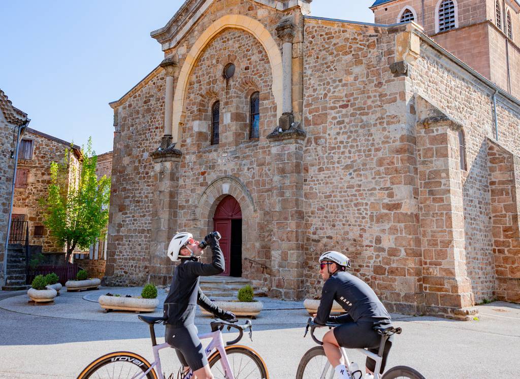
Lange und schwierige Strecke, auf der Sie die steilen Hänge entlang des Rhônetals sowie seiner Nebenflüsse entdecken werden.
Unterwegs passieren Sie Tournon sur Rhône und die hochgelegene romanische Kirche von Vion.
Place du 8 mai 45 - BP70019
26601 Tain l'Hermitage CEDEX
Place du 8 mai 45 - BP70019
26601 Tain l'Hermitage CEDEX
Montag bis Samstag: 09:30–12:30 Uhr / 13:30–18:00 Uhr
Sonn- und Feiertage: 09:30–12:30 Uhr
Ausnahmsweise Schließung am Samstag, den 11. Juli, nur vormittags.
Hôtel de la Tourette - 2 Place St-Julien
07300 Tournon sur Rhône
Montag bis Samstag – 09:30-12:30 / 13:30-18:00
Sonn- und Feiertage : 09:00-13:00 Uhr
Außergewöhnliche Schließung am Samstag, den 29. August.
32, avanue Georges Bert
26260 Saint-Donat-sur-l'Herbasse
Montag bis Samstag: 09:30–12:30 Uhr / 13:30–18:00 Uhr
Sonn- und Feiertage: 09:30–12:30 Uhr
Place de l’hôtel de ville
07410 Saint-Félicien
+33(0)4 75 06 06 12
Montag bis Samstag: 09:30–12:30 Uhr / 13:30–18:00 Uhr
Sonn- und Feiertage: 09:30–12:30 Uhr

