Balcons du Rhône et ses affluents
Distance : 125 km
Dénivelé : 2732 m
Durée : 8h

Office de tourisme Ardèche Hermitage
Place de l'hôtel de ville
07410 SAINT-FÉLICIEN
Place de l'hôtel de ville
07410 SAINT-FÉLICIEN
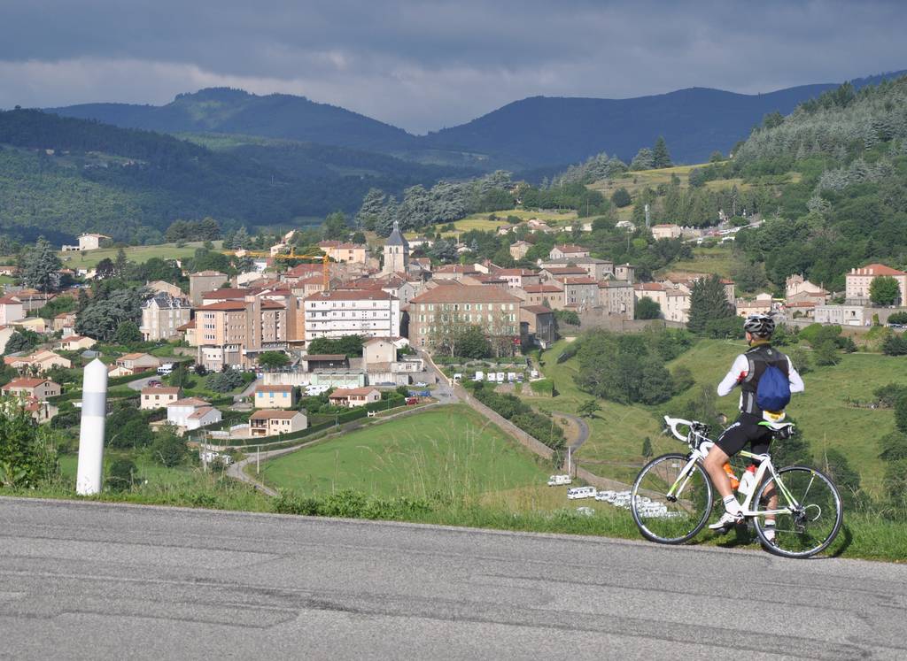
Een lange en moeilijke route die je over de steile hellingen langs de Rhônevallei en zijn zijrivieren voert.
Onderweg kom je door Tournon sur Rhône en de Romaanse kerk van Vion.
Documents à télécharger
Profil altimétrique
Distance :
125 km
Dénivelé :
2732 m
Durée :
8h

