Büro geschlossen vom 1. November 2025 bis zum 31. März 2026
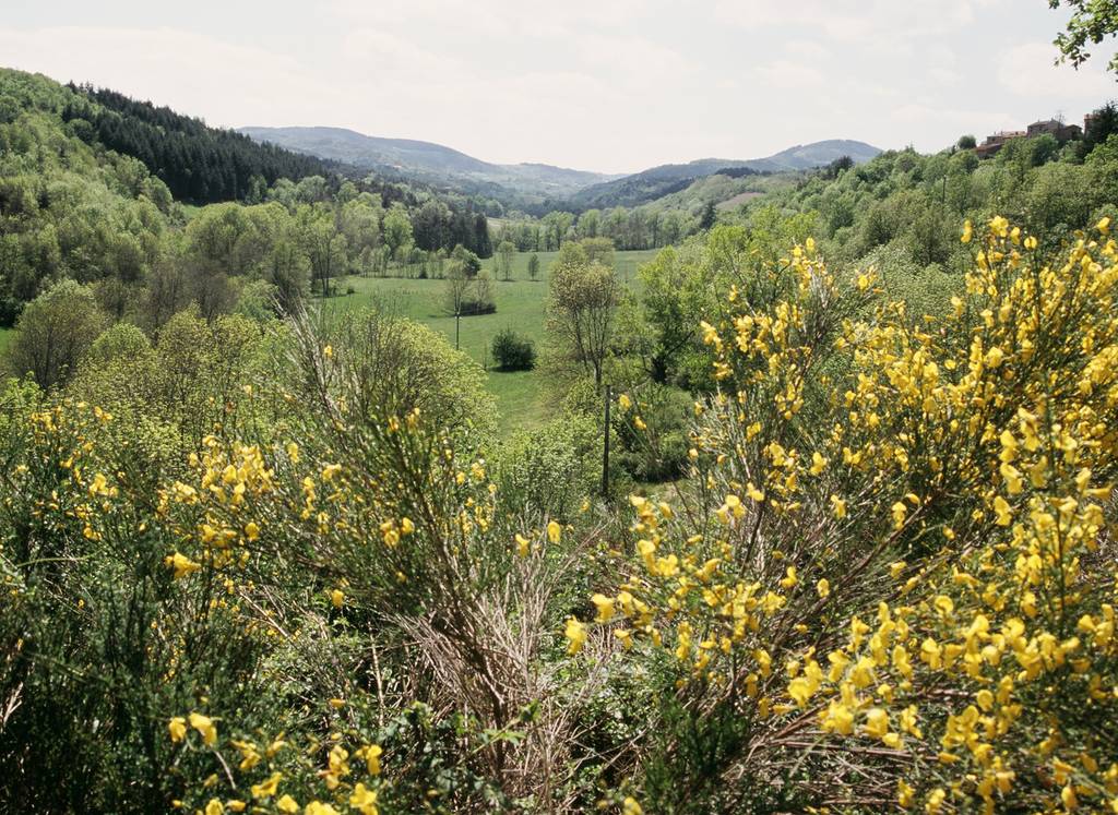
Wanderung "Die Mühle von Maninet"
Distanz 13 km
Höhe 390 m
Durée : 4h 30min
Randonnée "Le Moulin de Maninet"
Panneau info rando
07270 COLOMBIER-LE-JEUNE
Panneau info rando
07270 COLOMBIER-LE-JEUNE
Discover the city of Colombier le Jeune and its harmonious reliefs and join the river Ormèze in its most steep-sided part. Tracks indicatores are yellow and white.
Broschüren runterladen
Profil altimétrique
Distanz
13 m
Höhe
390 m
Durée :
4h 30min

