Büroeröffnung am 8. April 2026
Dienstag bis Samstagvormittag: 09:30-12:00 / 14:00-18:00 Uhr
Büro ausnahmsweise geschlossen 25. Mai.
Schwarze Mountainbike-Strecke Nr. 4 gemäß der Bewertung des französischen Radsportverbands.
Lange Strecke, auf der Sie die verschiedenen Facetten der Landschaft rund um Saint-Félicien entdecken können, vorbei an den Dörfern Saint-Victor und Colombier-le-Vieux.
Place du 8 mai 45 - BP70019
26601 Tain l'Hermitage CEDEX
Place du 8 mai 45 - BP70019
26601 Tain l'Hermitage CEDEX
Dienstag bis Samstagvormittag – 09:30-12:00 / 14:00-18:00 Uhr
Büro ausnahmsweise geschlossen 25. Mai.
Hôtel de la Tourette - 2 Place St-Julien
07300 Tournon sur Rhône
Montag bis Samstag – 09:30-12:00 / 14:00-18:00
Uhr Feiertage: 09:00-13:00 Uhr
32, avanue Georges Bert
26260 Saint-Donat-sur-l'Herbasse
Dienstag bis Samstagvormittag – 09:30-12:00 / 14:00-18:00 Uhr
Außerordentlich geschlossen am 25. Mai sowie am Dienstag, den 30. Juni nur vormittags.
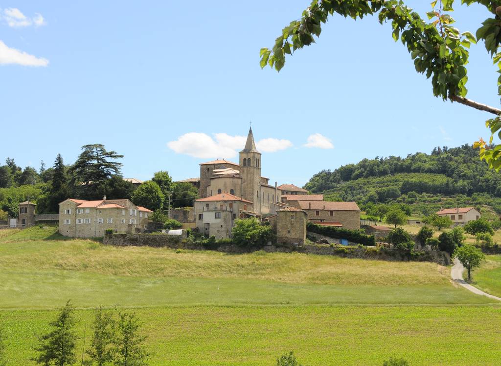
Place de l’hôtel de ville
07410 Saint-Félicien
+33(0)4 75 06 06 12
Büroeröffnung am 8. April 2026
Dienstag bis Samstagvormittag: 09:30-12:00 / 14:00-18:00 Uhr
Büro ausnahmsweise geschlossen 25. Mai.

